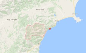
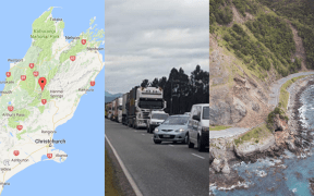
Scientists have counted 150 landslides into waterways around Kaikōura, almost a dozen of which they say could be a risk and need more detailed work.
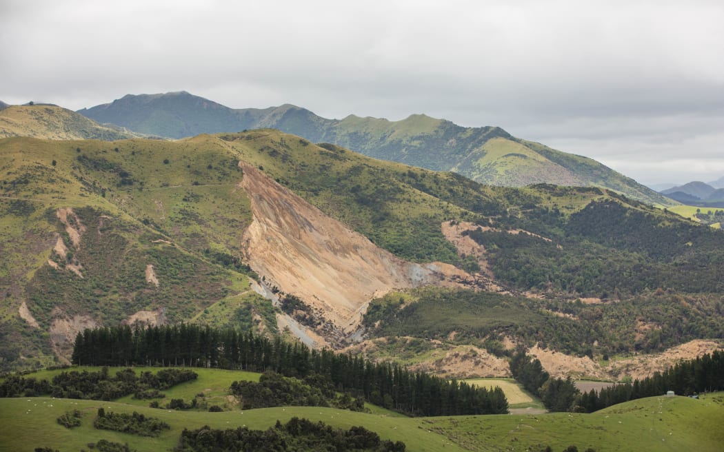
The slip above the Leader River: The side of a hill has fallen away, creating a blockage that now has water stuck behind it. Photo: RNZ / Cole Eastham-Farrelly
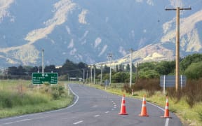
The town has been cut off along State Highway 1 by dozens of major landslides, and several slips into rivers and creeks have forced evacuations in the area over fears they may cause flash flooding.
View an interactive map of landslide dams provided by Environment Canterbury
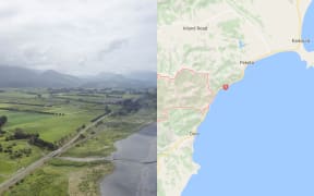
Civil Defence and GNS Science staff today told residents from 12 houses in Goose Bay, south of Kaikōura, that they could go back into their homes, but another 17 homes were still considered too risky to be reoccupied.
The entire settlement was evacuated last week after a dam created by earthquake debris cut off a stream.
GNS scientists said almost a dozen slips in the area had water building up behind them. Some of these slips came to light early on, and others after a systematic 10-day aerial survey by the agency.
The top three of concern were on the Hapuku, Linton and Conway rivers, they said.
A breach on the Conway River could affect State Highway 70. On the Linton River, a school was in the floodplain but was deemed at low risk.
There were other slips on the Gelt and Leader rivers, and on the Waimau in Marlborough.
GNS scientist Sally Dellow told the briefing, in Kaikōura this evening, that scientists were flying in two or three times a week to keep track of the risk.
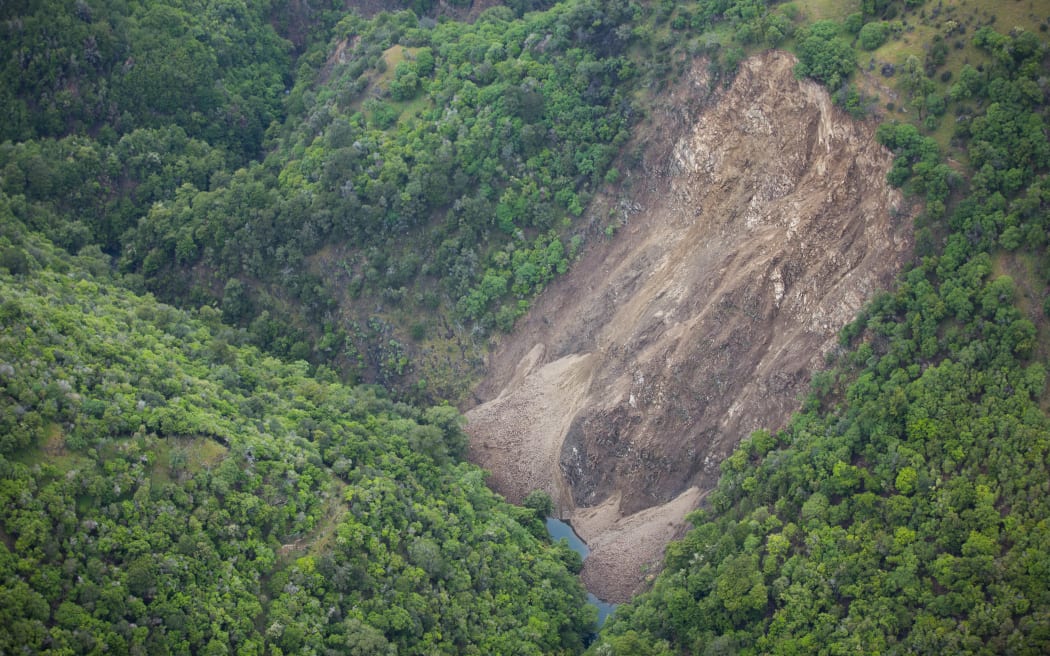
Water can be seen building up at the bottom of a large slip near Goose Bay. Photo: RNZ / Cole Eastham-Farrelly
The slip dam behind Goose Bay was also of concern, and the 17 homes that were still out of bounds would not be cleared until next Friday at the earliest.
The motor camp also remained closed.
A GNS drone has been sent up to assess the dam, which a spokesperson said was 350m long and thought to be 8m deep.
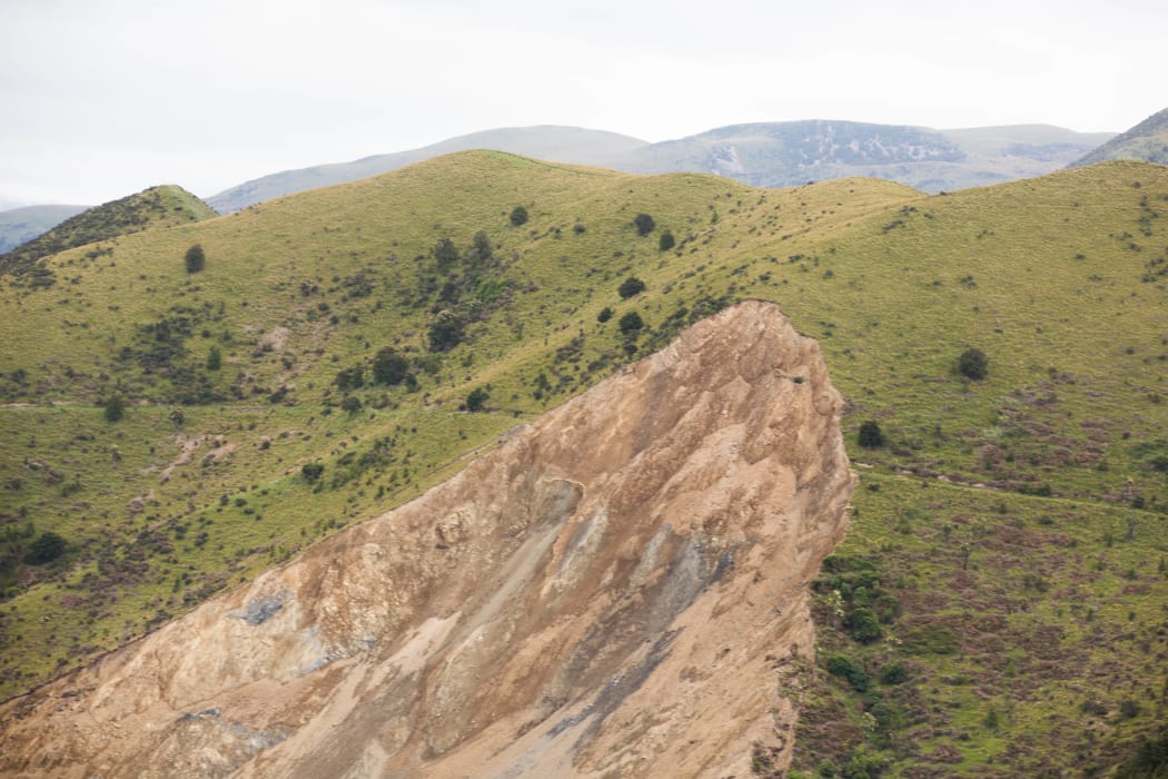
A closer shot of the Leader River slip Photo: RNZ / Cole Eastham-Farrelly