A US research ship, Roger Revelle, sets off from Port of Napier tomorrow on the latest stage of a mission to better understand the earthquake and tsunami potential of the undersea fault system off the coast of Gisborne
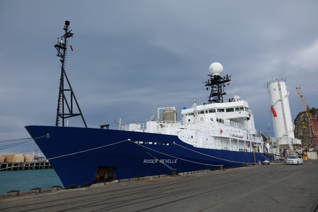
The Roger Revelle sets off tomorrow. Photo: RNZ / Peter Fowler
Scientists from the United States, Japan, and New Zealand will retrieve instruments from the sea floor near Poverty Bay as part of a project to measure earthquake activity where the Pacific Plate is being thrust under the eastern North Island.
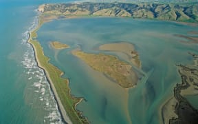
The coast is one of New Zealand's most active seismic zones; in 1947 an earthquake off the coast of Poverty Bay, where the scientists are focussing their efforts, triggered an eight-metre tsunami.
Offshore Poverty Bay is notable for a phenomenon known as slow-slip events or "silent earthquakes," which occur over weeks or months, and are a focus of the project.
Project leader Laura Wallace of the University of Texas said slow-slip events could relieve pressure on fault lines, but may also trigger large earthquakes.
"One of our Japanese colleagues involved in this project, he actually had some seafloor pressure sensors like what we have off Gisborne right now, and in those pressure sensors he saw evidence for a slow-slip event leading up to the magnitude 9 earthquake in 2011.
"So it's possible that slow-slip events could actually trigger big earthquakes. So we need to understand the linkage between earthquake generation and slow slippage which is something scientists really don't understand yet," said Dr Wallace.
She said the project constituted the world's largest-ever deployment of sea floor instruments specifically designed to study slow-slip events, and those instruments will be retrieved during the voyage.
Research began last May when the international team deployed 35 instruments on the sea floor off the Gisborne coast using NIWA's research ship Tangaroa.
They have remained in place for the past year, recording earthquakes and any upwards or downwards movement of the seafloor.
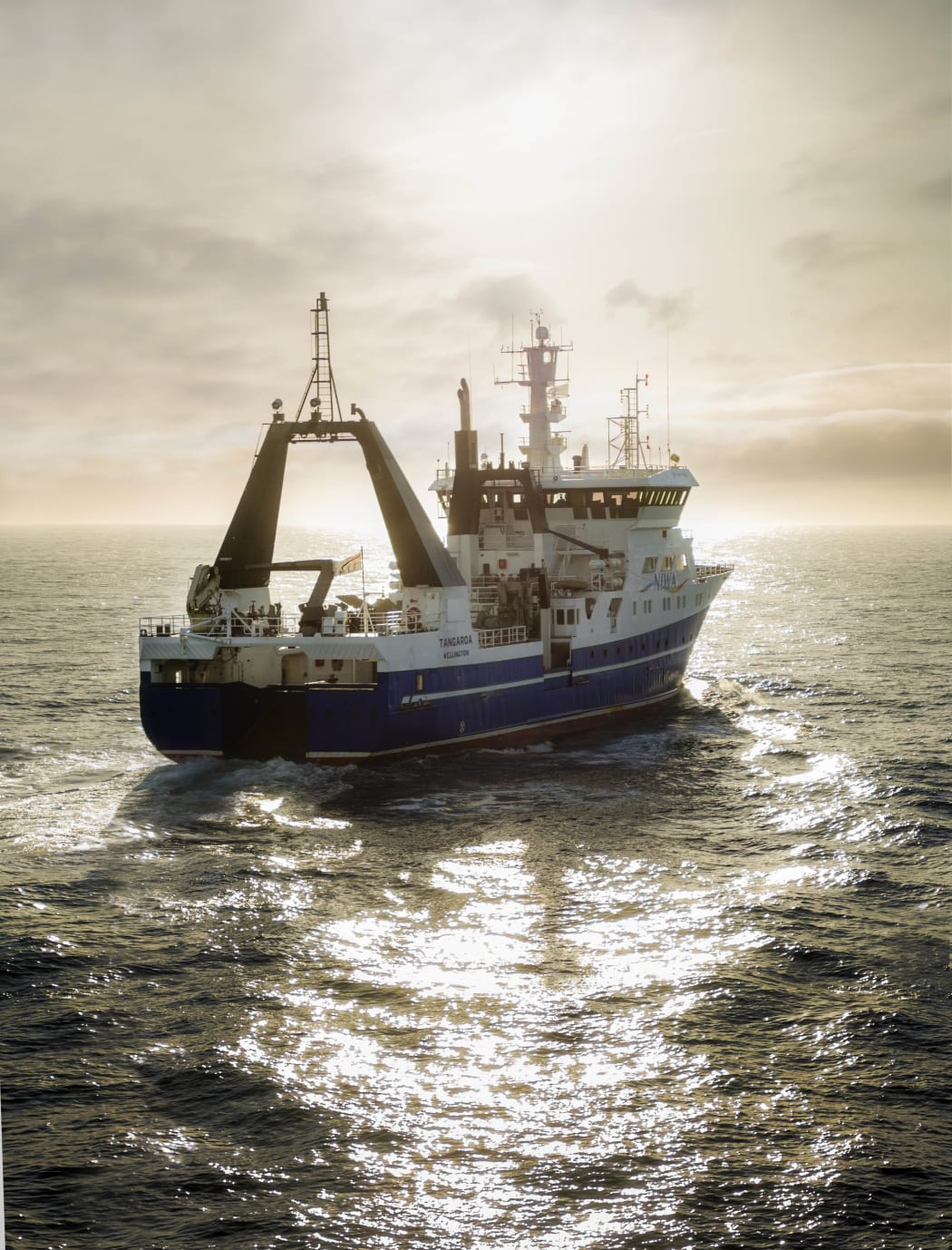
The research project started last May when a team deployed 35 instruments on the sea floor using NIWA's research ship Tangaroa. Photo: Dave Allen/NIWA (Supplied)
Once the instruments are on board the Roger Revelle, the scientists will download data recorded over the past year. It is likely to take months to complete the analysis that will reveal the behaviour of the plate boundary off the Gisborne coast.
Project member Dr Stephen Bannister, a seismologist at GNS Science, said the team expected the seismological data collected to shed light on the location and origin of the swarm of earthquakes occurring off the coast of Ruatoria, which had been felt in recent months. It should also give insight into the earthquakes that occurred during the 2014 slow-slip event.
"Occurring at one to two year intervals, slow-slip events involve large areas of Poverty Bay moving eastward by up to 2-3cm over one or two weeks, as detected by GPS instruments," he said.
Another scientist involved in the project, Rob Harris of Oregon State University, said what they learn will be of great use to policy makers.
Professor Harris said better understanding where and how earthquakes were likely occur would help in planning for such disasters.
While docked at the Port of Napier, the crew of the Roger Revelle allowed Hawke's Bay school students who took a geology programme at the Aquarium of New Zealand, to take a tour of the ship and learn more about earthquakes.
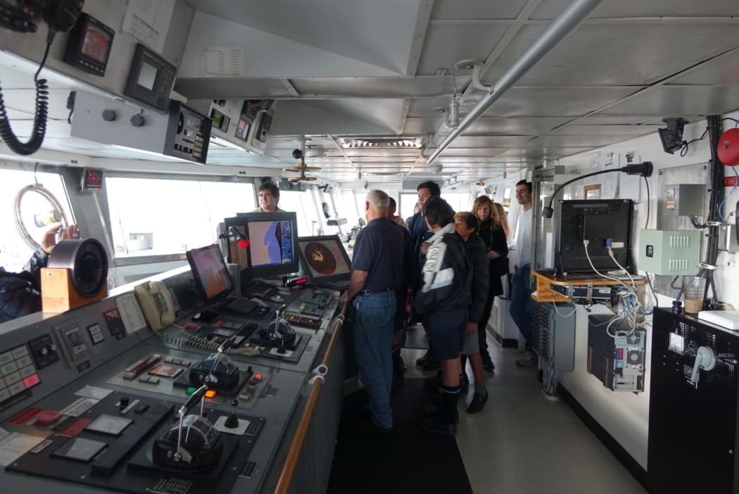
Hawke's Bay school students tour the Roger Revelle. Photo: Peter Fowler/Radio NZ
The 10-day voyage of the Roger Revelle will be funded by the United States National Science Foundation, with the first results of the research expected in about ten months time.