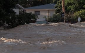
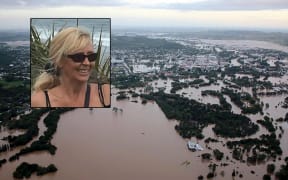
With record flooding expected in Whanganui and Rangitikei on Wednesday, residents are being urged to evacuate at-risk areas before the worst hits.


The two central North Island councils declared local states of emergency on Tuesday evening as the remnants of deadly Cyclone Debbie hit New Zealand.
Follow RNZ's live blog for updates as they come in
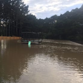
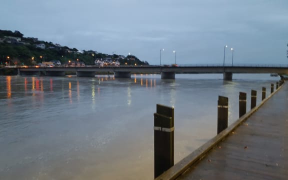
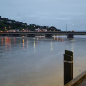
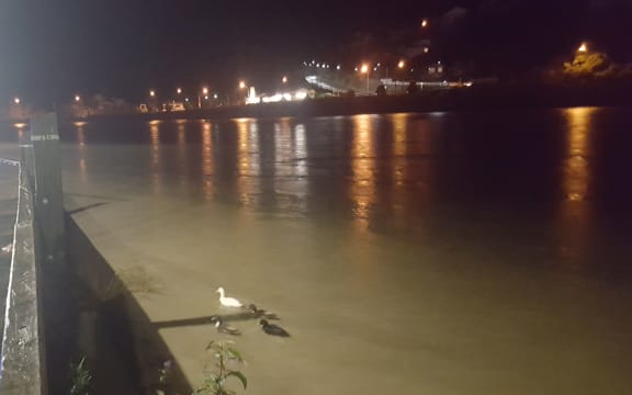
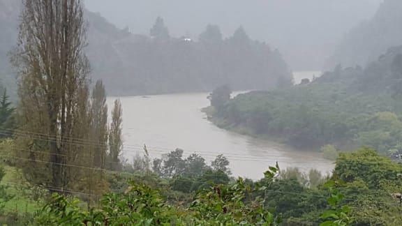
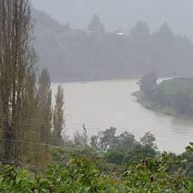
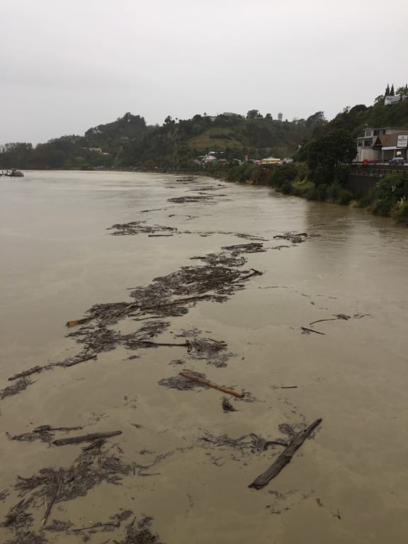
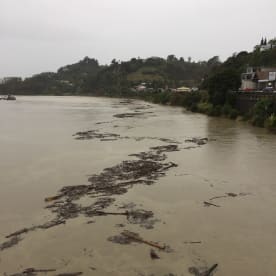
The Whanganui District Council was expecting flooding to rise to record levels on Wednesday with damage potentially worse than in June 2015, when the stopbank breached sparking about 250 people to evacuate and causing tens of millions of dollars of damage.
The council said its modelling suggested the river would rise to 19.3m at Pipiriki by about 1pm on Wednesday - about 4m above the level of 2015's devastating floods.
That flood saw the river peak at 9.1m at Town Bridge, which the council said at the time was the highest flood level on record. The river was expected to reach a peak of 9.5m at Town Bridge about 7.30pm on Wednesday.
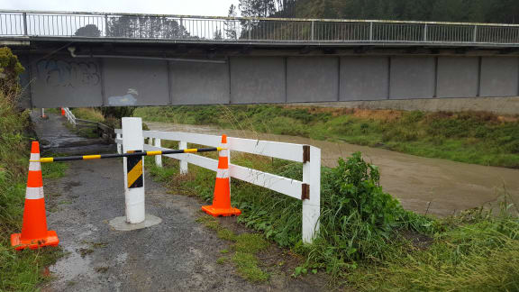
Other rivers were also expected to surpass previous flood levels, the Horizons Regional Council said.
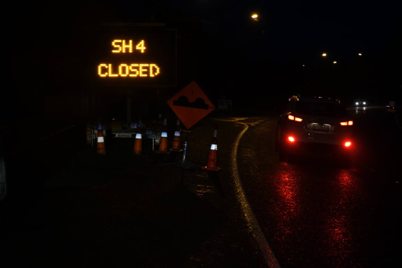
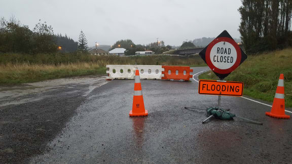
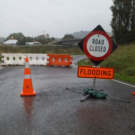
"The Whangaehu is expected to peak at 15.3m at 3pm, which is 4m higher than 2004, and is likely to close State Highway 3 at approximately 11am. The Turakina is expected to peak at 11.6m at 6.45pm."
All schools and early childhood centres in the two districts would be closed on Wednesday, and would remain closed until the states of emergency lifted, the Ministry of Education said.
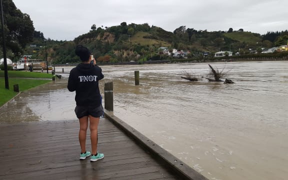
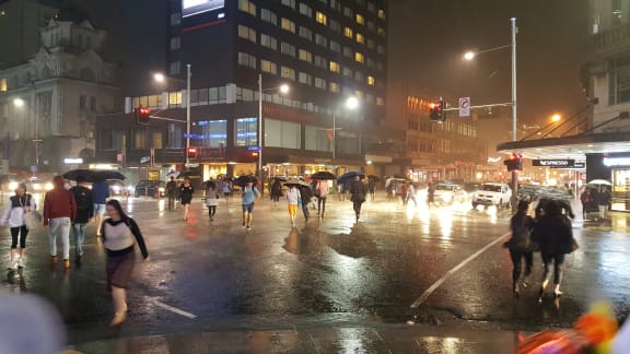
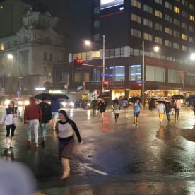
Heavy rain warnings were also in place for Gisborne, Coromandel, Hawke's Bay, Taranaki, Auckland and Wairarapa.
Whanganui 'will almost certainly be flooded'
Whanganui mayor Hamish McDouall said residents in flood-zone areas should leave their houses by 6am on Wednesday.
"Sadly, Whanganui is built on a flood plain and so the reality is the places that were affected last time will almost certainly be flooded tomorrow," he said.
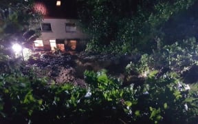
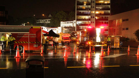
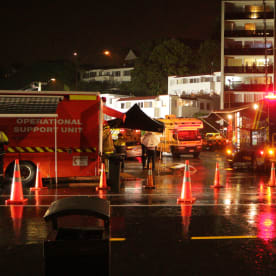
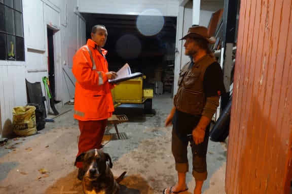
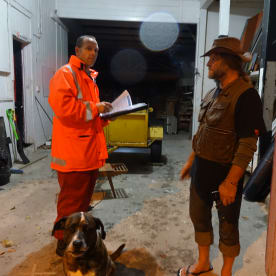
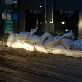
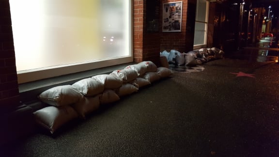
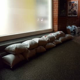
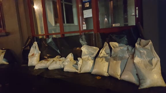
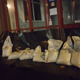
Businesses have sandbagged shopfronts while homeowners have started carting off their worldly possessions.
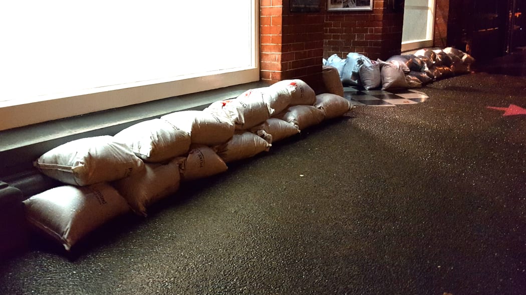
Business owners and homeowners have been trying to protect their properties. Here, a line of sandbags lies ready on Taupo Quay. Photo: RNZ / Robin Martin
Anzac Parade resident Kisa Coles said she and her husband Chris had emptied their house. It flooded to the ceiling in 2015. They were expecting worse this time.
Next door, Paul Chapman had almost finished renovations. A small army of friends and family helped move his possessions to higher ground.
Mr McDouall said people who had left their houses could head to centres at Whanganui Girls' College and St Paul's - St Mark's Presbyterian Church in Guyton Street.
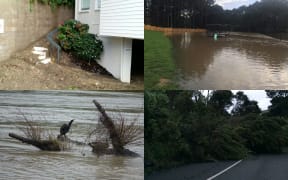
The flooding was expected to be at its worst between 7pm and midnight on Wednesday. The flood zone included Anzac Parade, Taupo Quay and Putiki.
Rangitikei: 50 people evacuating overnight
Rangitikei mayor Andy Watson said volunteers were door-knocking at low-lying homes around Marton, urging people to leave the area as a precaution.
About 50 people in Rangitikei were expected to leave their houses tonight.
Mr Watson said the amount of rain forecast meant parts of the town and SH3 were likely to be underwater by mid-morning.
"We're facing a 2004-type event, which could be sort of a 150 [to] 200-year-type event."
Taranaki also affected
Taranaki's Civil Defence warned people to prepare for worst-case conditions, but said a state of emergency declaration was unlikely.
The South Taranaki District Council expected the Waitotara River to peak at 10m. The settlement flooded in 2015 when the river peaked at 15m.
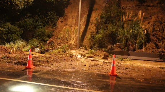
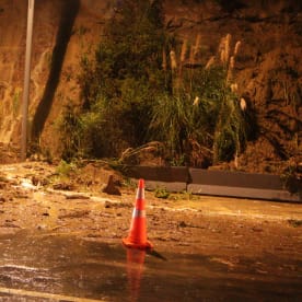
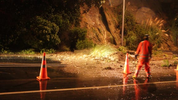
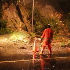
In New Plymouth, landslips were cleared from Piko and Okoki Roads.
Other North Island regions
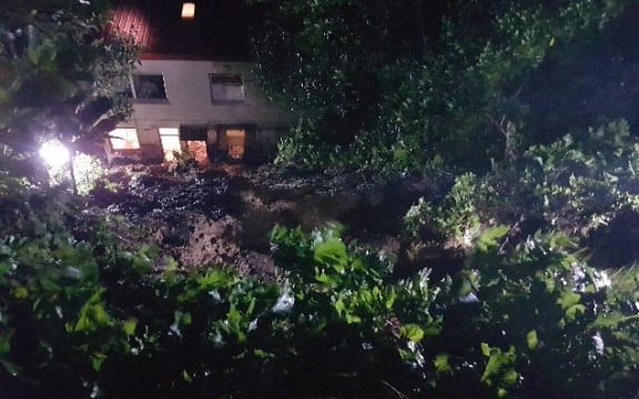
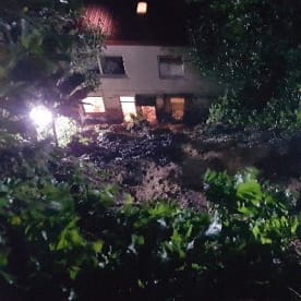
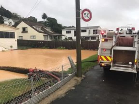
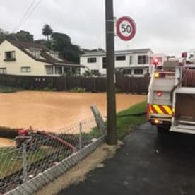
In Auckland, a cliff collapsed on a flat in Kohimarama, as the Fire Service dealt with multiple flooding incidents from rain.
Five homes on Auckland's Whangaparoa Peninsula were also evacuated due to a large slip.
MetService meteorologist Josh Griffin said between 120mm and 180mm was expected in the region over 24 hours.
Civil Defence said it would monitor the situation and the Auckland Council was on standby.
The eastern suburbs and Waiheke were the worst hit by rain, including St Heliers, Beachlands, Remuera, Otara and Howick, it said.
A landslip tonight blocked one lane of SH2 on the Featherston side of the Rimutakas, between Wellington and Wairarapa.
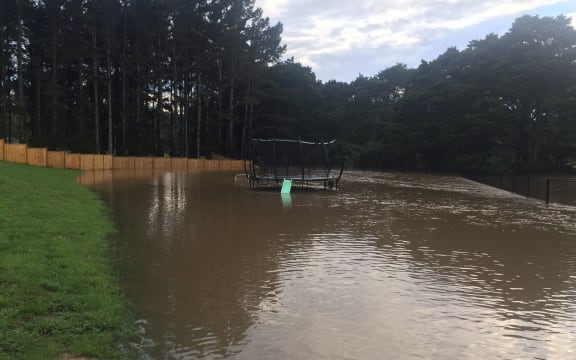
Waikato Civil Defence advised people to store enough food and water for a week.