
Flooding, snow and severe gales are on the way during the first week of the school holidays.
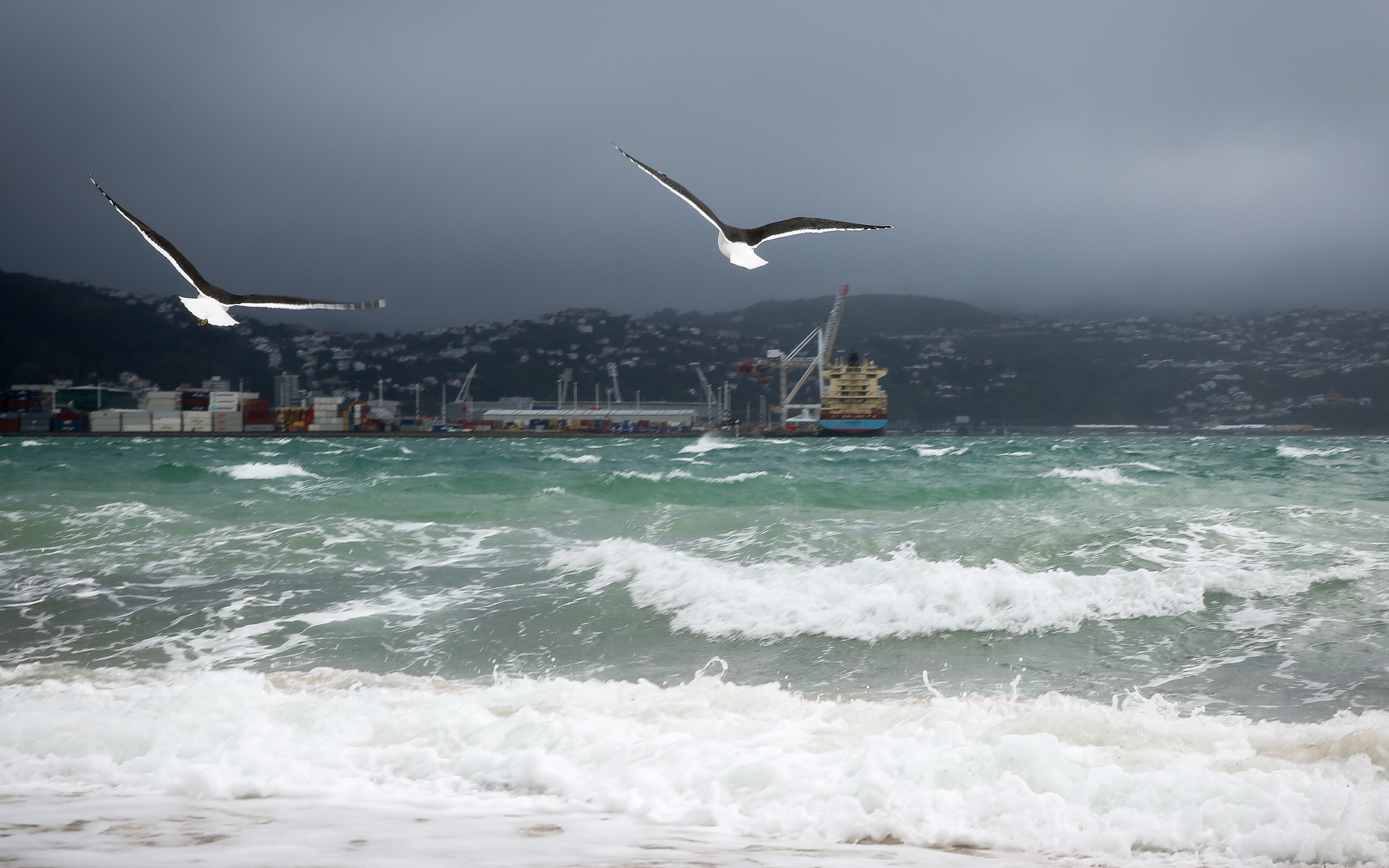
Strong southerlies are expected in the capital through Wednesday and Thursday. Photo: RNZ / Alexander Robertson
Many parts of New Zealand are expected to be affected by what MetService is calling "high impact severe weather" as a front moves across the country from Tuesday.
Cold southerlies and snow are expected tomorrow in low-lying areas in the far south, and above 200 metres in Canterbury.
Through Wednesday and Thursday, the bad weather is expected to hit the North Island, with severe gales possible from Taranaki to Gisborne southwards and over the Marlborough Sounds. MetService is also predicting heavy rain will reach "warning" amounts in Wairarapa, Hawke's Bay and Gisborne later in the week.
The central and eastern North Island was told to prepare for the possibility of heavy snowfall above 600 metres in Wairarapa, Hawkes Bay and east of Taupo on Wednesday and Thursday.
Coastal areas exposed to strong onshore flow, high waves and heavy rain could experience flooding, the forecaster said.
Conditions were expected to ease late on Friday.
After a quiet Monday, active weather coming. Wind, rain, snow & waves. Wave forecast 12p Tue-12p Thu. Heads up @interislander 3-4+ m by Thu pic.twitter.com/zZ8BYUPPkN
— NIWA Weather (@NiwaWeather) July 9, 2017
Fog delays flights in Christchurch
Meanwhile, fog in parts of Christchurch is delaying some domestic flights in and out of the city this morning.
Christchurch Airport is open but at least 13 domestic incoming flights have been cancelled because of the fog and another seven delayed.
There have been five cancelled departing flights and and at least two delayed.
People due to fly today are being advised to contact their airline to check on the status of their flight.

