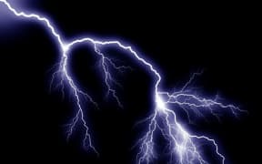
More thunderstorms, and possible tornadoes, are forecast to hit the country again overnight.
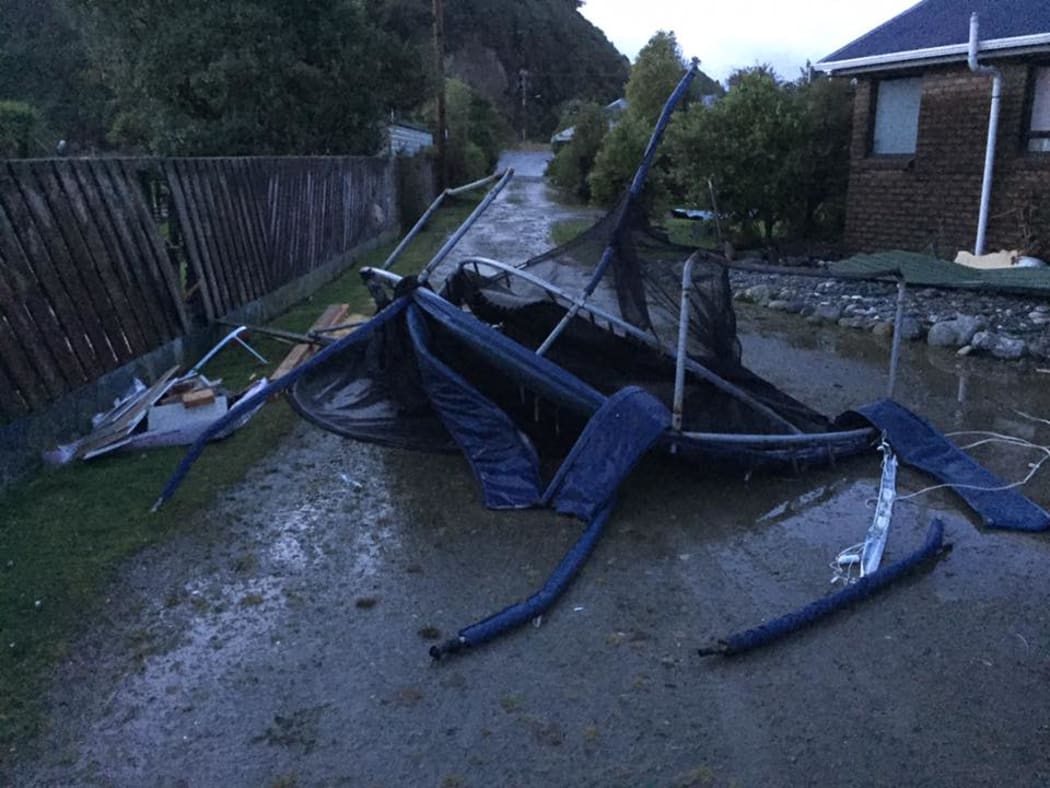
A wrecked trampoline after the tornado near Hokitika. Photo: Facebook / Sam Ngabro Ngaamo
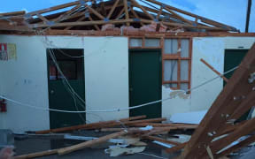
A tornado tore through a pa north of Hokitika early this morning and there were thousands of lightning strikes across Waikato, the King Country and the southern part of Auckland.
MetService forecaster Gerard Barrow said another band of bad weather was on its way - and many of the same areas would be in the firing line.
"There will be more thunderstorm activity occurring again, or intensifying, especially about the west coast of the South Island, and also around the west of the North Island, from Waikato down to Taranaki."
MetService said there was a small chance of further tornadoes.
It said there would small accumulations of snow above 900m on Arthur's and Lindis Pass, and on Crown Range and Milford Road this evening.