

The Marlborough District Council has developed a software application designed to speed up property inspections in an emergency.
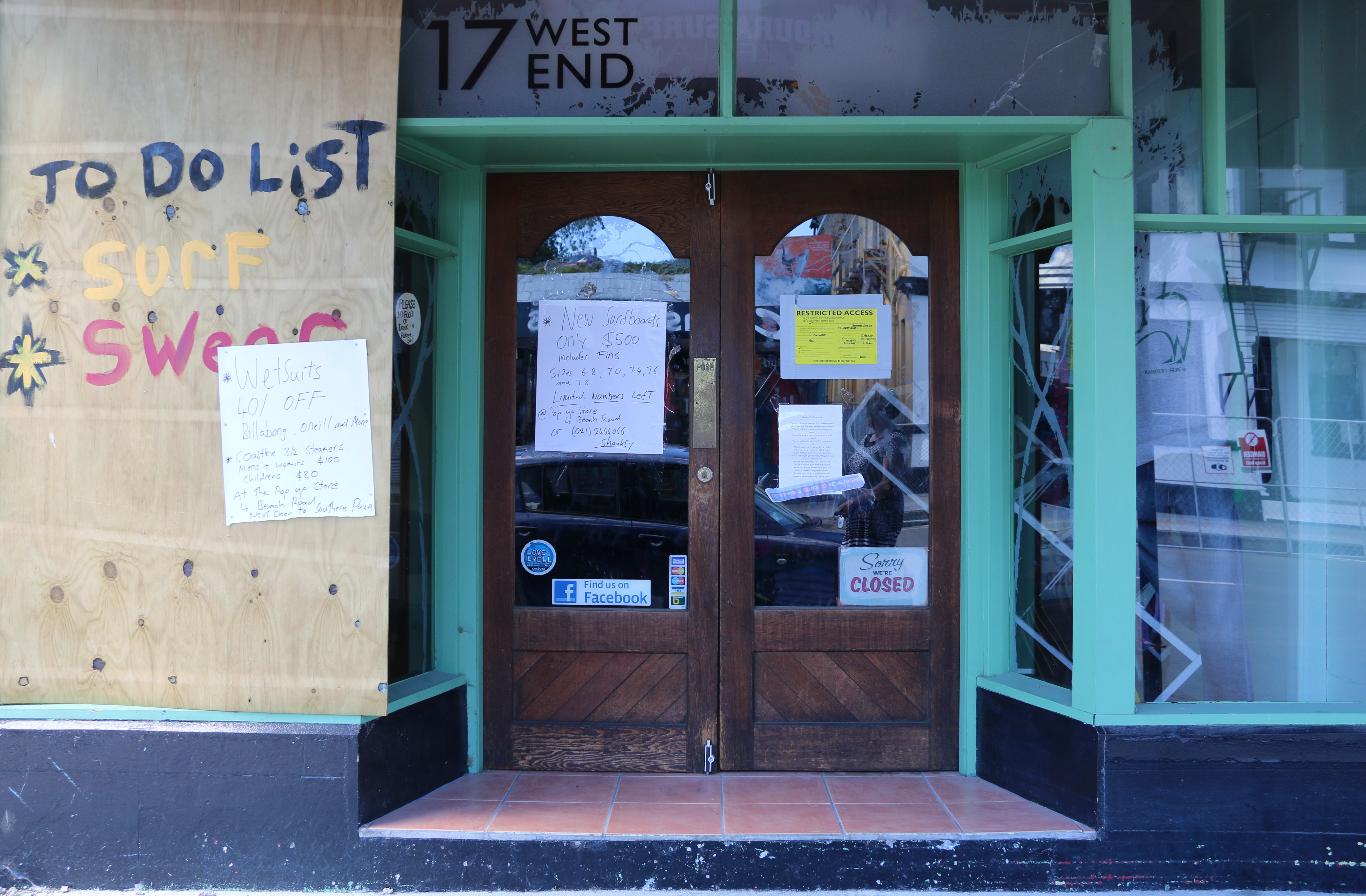
Kaikōura Surf was shut after last November's earthquake. Photo: RNZ / Joelle Dally
A senior staff member said the Emergency Response Building App - which was presented to councillors at a meeting in Blenheim on Thursday - allowed inspectors to record damage electronically, and receive a safety rating almost immediately.
Brendon Robertson said a property can be given a white, yellow or red sticker on site, while the activity is streamed live to Civil Defence headquarters. He said the app can be used on any mobile device, such as a smartphone, tablet or iPad, and can be downloaded to any device being used by visiting specialists, such as engineers.
"As we're out in the field, a Civil Defence controller can see where we are and where the damage has been observed, so rather than have to wait til the end of the day, or wait a couple of days until that information is set into a computer ... it's online so they (Civil Defence) can log in and see the maps, and the damage as we're assessing it."
He said the app had been in development since the 2011 Christchurch earthquakes, and was in ready enough form to be used in last November's Kaikōura quake, which caused significant damage in Marlborough.
Mr Robertson, who was on the ground in post-quake Christchurch said surveys after an emergency event were typically conducted on paper. Information is then transferred into digital system, but it can often take too long and the information is often outdated by the time it gets there.
"In the Kaikōura situation we could see there was damage in Seddon, but down in Ward where there was more serious damage, a controller could see us in the field attaching yellow and red placards to the buildings, and they could therefore put their resources to where the worst damage was."
Mr Robertson has worked closely with the council's IT team to build the app from an off-the-shelf system. He said similar technology was used by a North Island council, but GIS information had been added along with a function that allowed photo attachments of the property.
Mr Robertson said the council aimed to make the technology available to other local authorities interested in using it.
The app recently won an award at the Association of Local Government Information Management Web and Digital Awards.

