
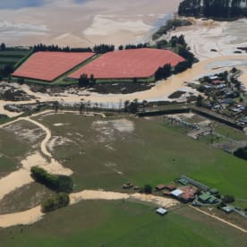
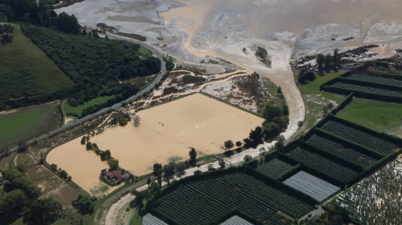
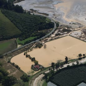
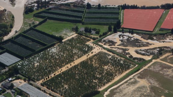
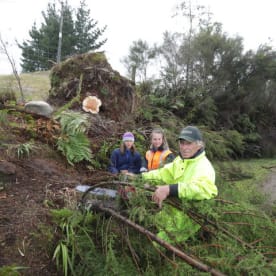
A state of emergency has been declared in Taranaki, Nelson, Westland, Buller, Greymouth, Selwyn and Christchurch, with fears some homes are at a high risk of flooding over the next day.
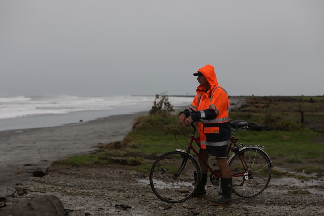
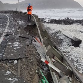
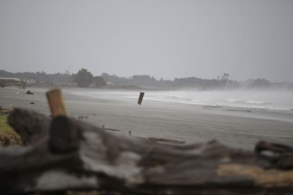
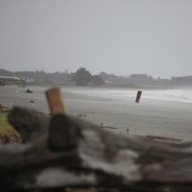
A Buller local looks out to sea after the district declared a State of Emergency. Photo: RNZ / Rebekah Parsons-King
MetService says the eye of the storm has hit landfall and is now hovering over the western tip of the South Island.
Over the next few hours it's expected to move south-east, settling over the South Island's upper east coast tomorrow morning.
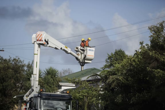
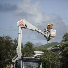
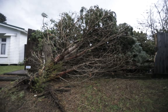
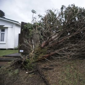
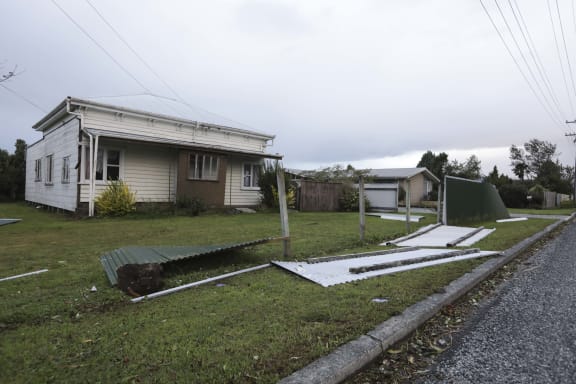
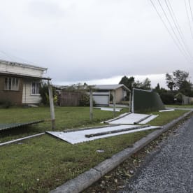
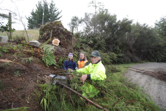
Taranaki Line company Powerco said fallen trees and branches had cut power throughtout the region and wind gust of up to 140km an hour was making repair work difficult.
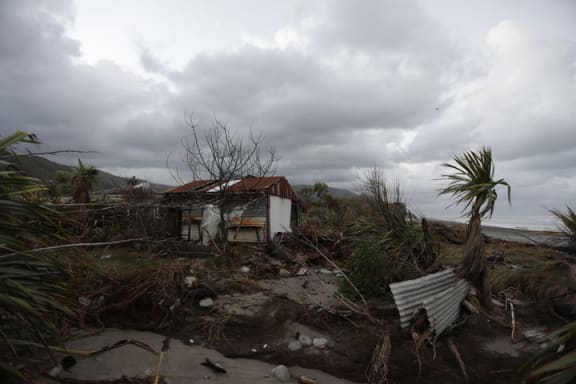
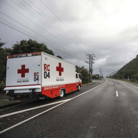
Buller District mayor Garry Howard's emergency declaration was made just before 4pm, following advice from police and the Red Cross.
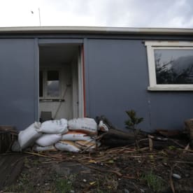
He said they were working to evacuate people from a small number of seafront homes in Granity due to flooding and high winds.
He said the wind is continuing to build and a welfare centre had been set up to accomodate evacuated residents.
Mr Howard said residents asked to evacuate must comply with the directions of emergency services.
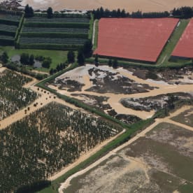
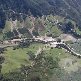
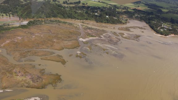
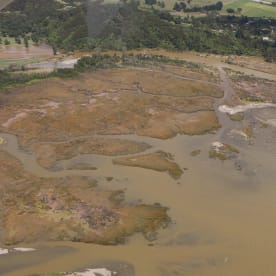
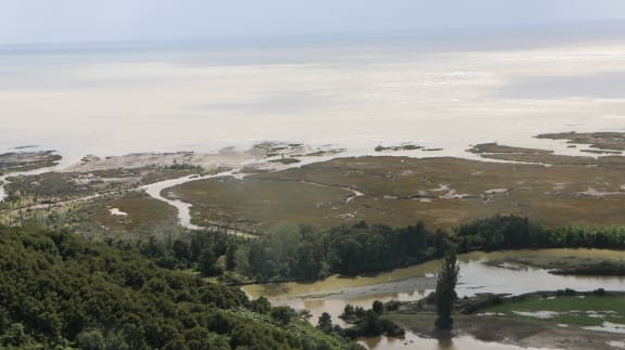
Civil defence said heavy rain is expected in Takaka which will lead to more flooding, including in Takaka township.
They expect flooding to take over the main street over the next few hours.
Residents are being told to leave their homes if they feel unsafe.
Civil defence centres have been opened at the Motueka Recreation Centre; the Takaka Recreation Centre; the outdoor Recreation Centre in Maraha; and Salvation Army hall on Rutherford Street in Nelson.

Christchurch mayor Lianne Dalziel at today's announcement of a state of emergency. Photo: RNZ / Maja Burry
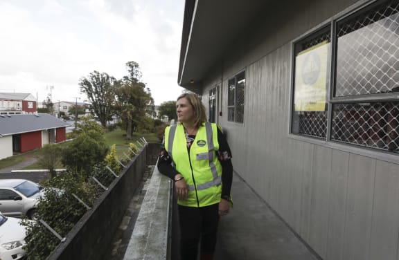
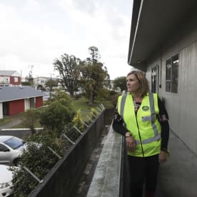
In Christchurch, mayor Lianne Dalziel said the state of emergency for Christchurch City, which includes Banks Peninsula, gave people early warning to prepare.
"The full impact of the storm will be felt overnight and tomorrow morning. We are expecting homes to be flooded. If you are in a flood-prone area, particularly if your home was flooded, or close to flooding, in the July storm last year, you should consider evacuation before the worst of the storm hits tonight.
"We think it's better people make preparations while it is still light, and ahead of road closures, to allow them to get out if they wish.
"Part of Clarendon Terrace has been closed already, and we expect further streets to close over the course of the afternoon and evening. These will not reopen until the risk of flooding has gone."
The council said flood warning signs were also in place at the Sheldon Street and Tavender Street intersections.
Canterbury clocking up the rainfall now, with many locations approaching 50mm. Timaru 48mm, Cheviot 50mm. Christchurch itself 20mm so far ^GG pic.twitter.com/Pqpkc5f5xx
— MetService (@MetService) February 20, 2018
It said people who lived in low-lying areas, whose homes have flooded in the past, should be prepared to self-evacuate this afternoon.
The council said if there was an evacuation, it would open up Pioneer Stadium for people leaving their homes.
Meanwhile in the neighbouring Selwyn District, the Chamberlains, Coes and Whitecliffs campgrounds will be closed today at 6pm due to the heavy rain and wind predicted.
The Selwyn District Council said campers should make alternative accommodation arrangements before then.


Transport woes
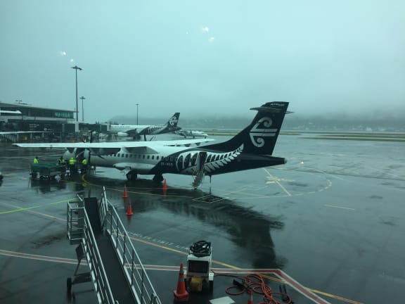
Meanwhile, Air New Zealand flights around the country have been affected by the storm.
The airline said flights at New Plymouth, Hokitika and Queenstown were cancelled, flights at Nelson cancelled from midday, and flights at Wellington airport would be cancelled between 2.45pm and midnight.
It said it was putting on extra flights earlier to make up for any difficulties in Wellington later, and was relaxing its financial penalties for some people trying to reschedule bookings.
Conditions at Blenheim, Kāpiti Coast and Palmerston North airports were being closely monitored but flights there would continue for now, it said.
People with bookings were advised to check the website to see if they were affected. The airline's call centres were very busy, it said, urging passengers to avoid calling unless their travel concerns were urgent.
MetService said Cyclone Gita has changed its course slightly, moving slightly further south than had earlier been expected.
Senior meterologist Lisa Murray said that meant less rain for Wellington but more for Christchurch.
"We might see the rainfall in Wellington ease off a little earlier than expected, not reaching the rainfall totals that we thought which is great for Wellington because we were concerned about rainfall there.
"As that moves south it also affects the other end of the storm so the likes of Christchurch could see some heavy falls around that rush hour traffic time."
- Check the latest information in our live blog
- Read what you need to know for the essential information for your region
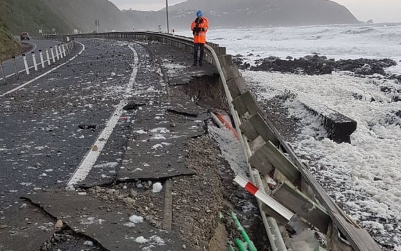
It warned high tides overnight were likely to bring large waves to Kaikōura and Christchurch about 9pm, and to Taranaki, Kāpiti and Nelson about 2am.
The latest severe weather update it had upgraded watches for heavy rain in Christchurch, Banks Peninsula and North Otago to full warnings.
Rain warnings had already been issued for Nelson and Buller, Malborough including the Kaikōura Coast, Wellington and the Kāpiti Coast, Canterbury and the ranges of Westland.
In Buller, residents in the town of Granity were asked by a local fire commander to consider evacuating further south if they had family there.
Severe gales are expected to hit Taranaki, Taihape and Whanganui, and the lower North Island. Nelson and Buller, Malborough, Westland and Canterbury are also expected to get severe south to south east gales.
Niwa is predicting gusts up to between 130 and 150km/h will peak around 10.30pm.
It said the wind would start to rise rapidly from about 4pm and should drop significantly by 4am tomorrow.
Tides, strong winds and heavy rain could bring storm surges and waves up to 6m high.
Send us your weather photos and videos: iwitness@radionz.co.nz
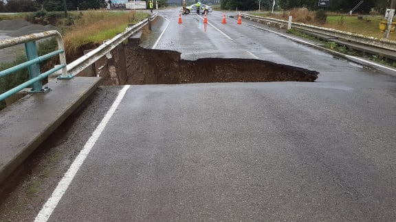
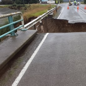
NZTA said heavy rain closed State Highway 1 north and south of Kaikōura. Travellers heading to and from Picton should use the alternate route via the Lewis Pass.
State Highway 6 between Westport and Greymouth was also closed this afternoon due to flooding
Over 57 schools and early childhood centres in the Nelson City, Marlborough, Tasman, Buller, Grey Kaikōura and Westland districts were closed for the day or closed early.
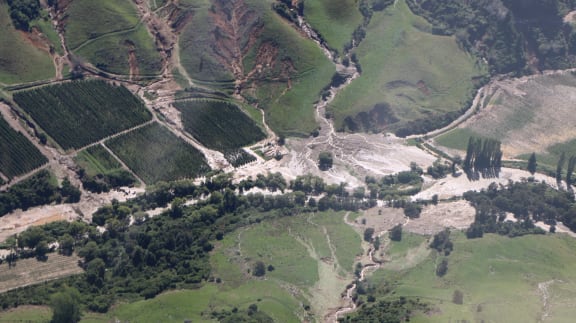
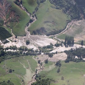
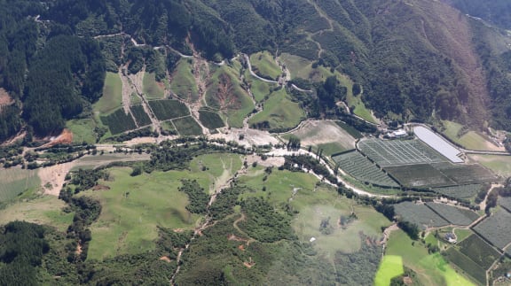
Nelson and Tasman are still recovering from the previous storm, while trampers boaties and campers in Marlborough Sounds have been advised to leave the area.

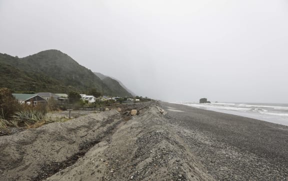
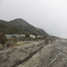
Photo: RNZ / Rebekah Parsons-King
Prime Minister Jacinda Ardern said Defence Force personnel had been deployed to the areas expected to be hardest hit by the storm, and the Civil Defence unit at Parliament was on standby to be activated if required.
Communication wires are also at risk, with Chorus saying it had checked and re-fuelled the generators in its exchanges and put portable generators in areas where the weather is expected to be at its worst - in case power failed.
MetService said Dunedin was not yet in the storm's path but they were keeping an eye on it.
Truck blows over in Taranaki
Taranaki police are dealing with multiple downed trees and a truck has been blown over onto its side in Opunake as cyclone Gita strikes the province.
Sergeant Shane Hurliman said they had been busy since the storm touched down about 3pm.
Mr Hurliman said no one was injured when the truck overturned but it was too windy to right the vehicle.
Lines company Powerco is reporting that more than 5000 customers are now without power in towns and villages all around the province.
Taranaki Civil Defence has activated its emergency coordination centre and is monitoring what's happening.
Taranaki Port has been closed from 10am.

