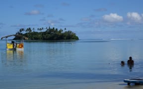
A Cook Islands government project has used drones to try and get a better picture of the issues surrounding the water quality of Muri lagoon.
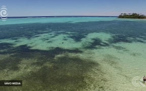
Dark patches of algae spreading in Muri lagoon. Photo: RNZI/Varo Media
Calls for improvement to the water quality have been made for years amid reports that raw sewage was being discharged into the lagoon from private homes.
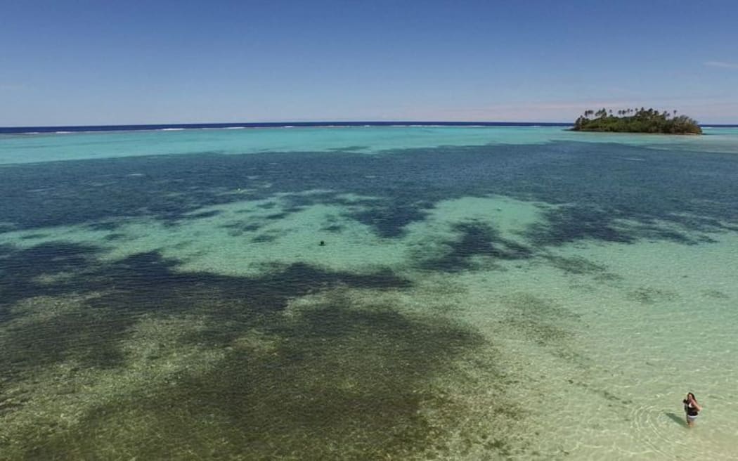
Last week the Mei Te Vai Ki Te Vai Management Unit cordoned off the areas around the lagoon to undertake thermal imaging and survey work.
Deputy project manager Daryl Rairi said the drones were used to get a better picture of the lagoon's catchment area.
"We're using drones to map out the lagoon and also to map out the catchment area. The purpose is to map water temperature within the and have survey information of survey contours of the land."
Mr Rairi said the data would be sent to Auckland for analysis.
Similar work is expected to take place in Aitutaki in the future.