
By Alison Ballance
“The Kermadec area is a natural highway and connector between tropical and temperate waters and that really is what makes it so special.”
Bronwen Golder, Pew Global Ocean Legacy - Kermadecs

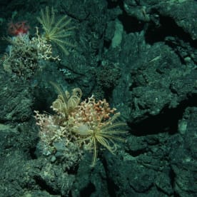
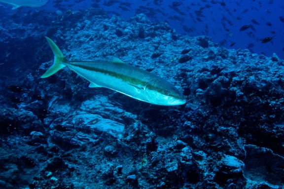
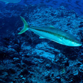
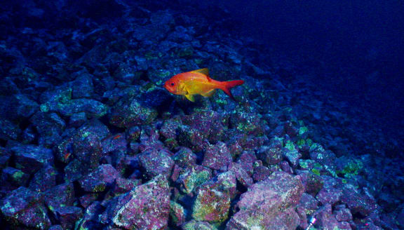
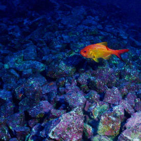
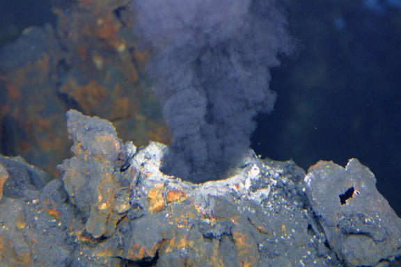
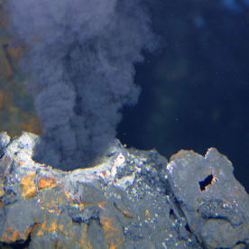
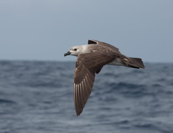
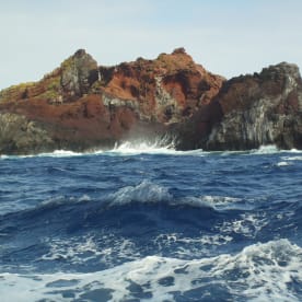
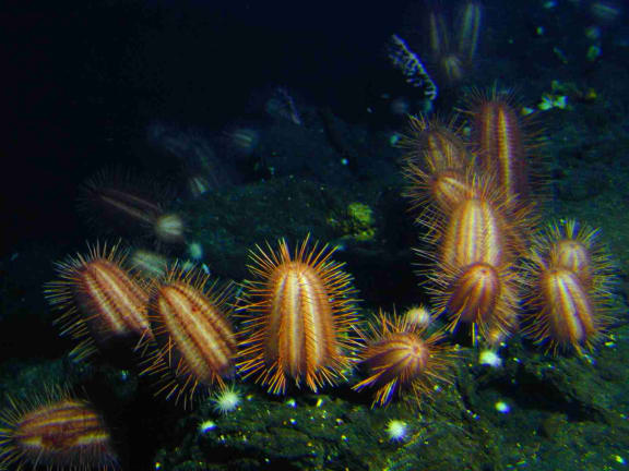
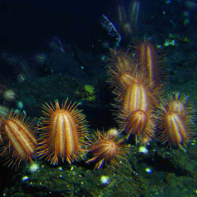
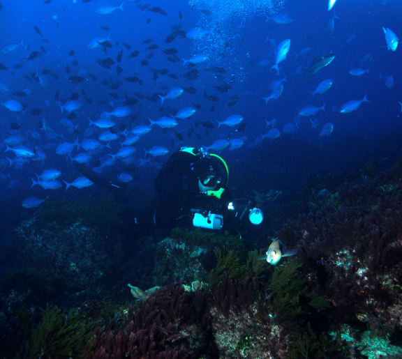
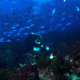
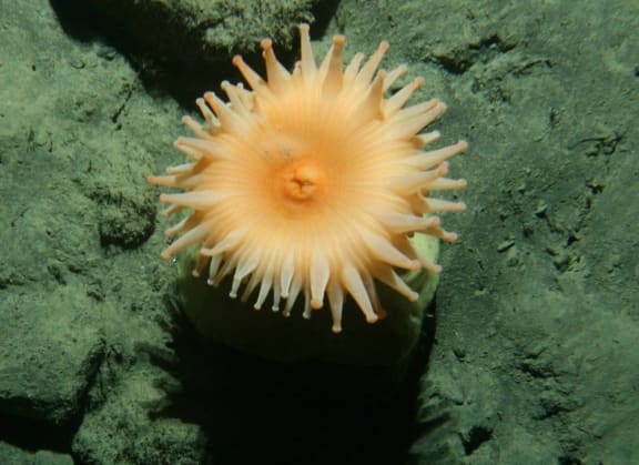
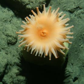
Marine photos from the Kermadecs
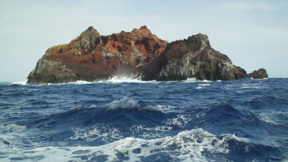
A 620,000 square kilometre area of ocean around the subtropical Kermadec Islands has just been declared an ocean sanctuary. When it comes into effect in 2016 the new marine protected area will become the first in New Zealand to go beyond our 12 nautical mile territorial waters out to the 200 nautical mile boundary of the exclusive economic zone (EEZ). It will be New Zealand’s largest marine reserve. Fishing, prospecting and mining will be banned in this no-take marine reserve. It brings the total number of marine reserves in New Zealand to 44.
Under the Convention on Biological Diversity, New Zealand committed to having 10 per cent of its coastal and marine areas conserved by 2020. New Zealand currently has 9.7 per cent of its territorial sea fully protected, but no full protection in our EEZ; the Kermadec Ocean Sanctuary means 15 per cent of New Zealand’s ocean environment will be fully protected.
The announcement, made by Prime Minister John Key at the United Nations in New York earlier this week, follows more than five years of lobbying by a consortium of conservation organisations, spearheaded by Pew Charitable Trust’s Global Ocean Legacy project. The Global Ocean Legacy project has been working around the world for a number of years to encourage governments to ‘establish the world’s first generation of great marine parks by securing the designation of large, fully protected reserves’.

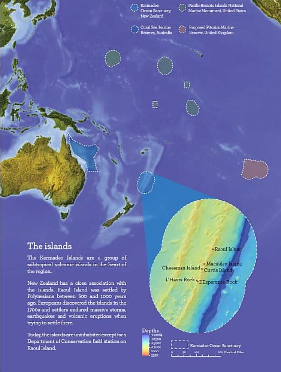
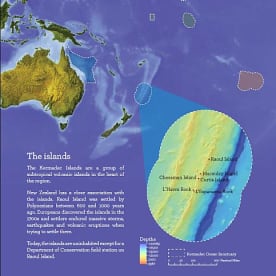
The Kermadec Ocean Sanctuary, pictured along with other large marine protected areas in the Pacific. Photo: Ministry for the Environment
The Kermadec ocean sanctuary adds to the existing Kermadec marine reserve, which was established in 1990 and includes 7500 square kilometres of territorial sea around the five islands: Raoul, Macauley, Cheeseman, Curtis and L’Esperance.
Under the International Union for Conservation of Nature (IUCN) Protected Areas classification system the Kermadec Ocean Sanctuary will have the highest level of protection: category I – strict nature reserve/wilderness area.
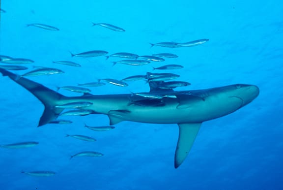
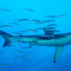
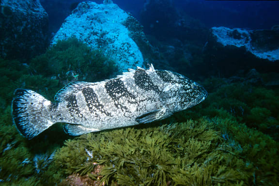
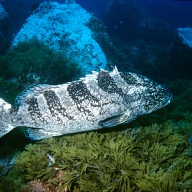
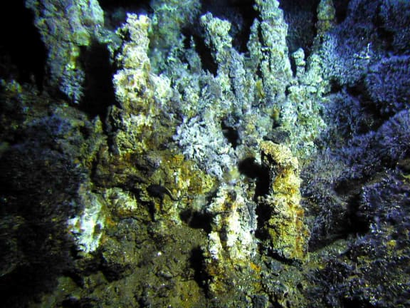
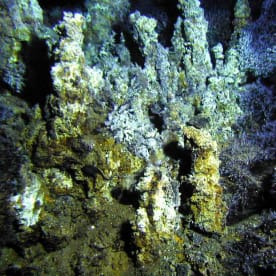
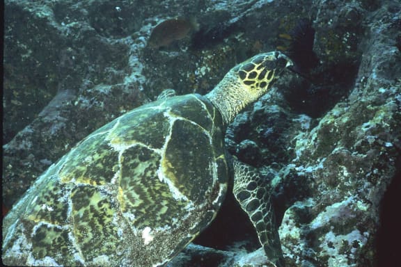
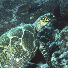
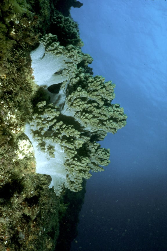
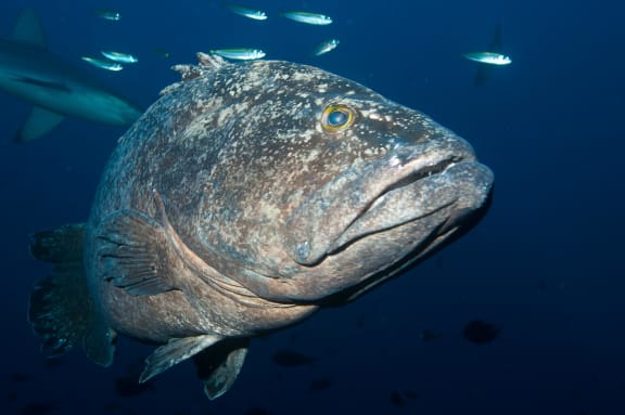
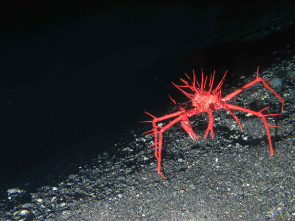
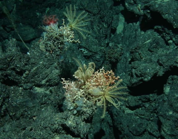
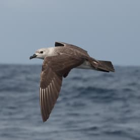
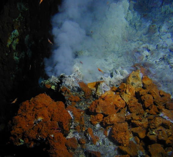
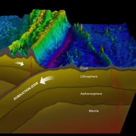
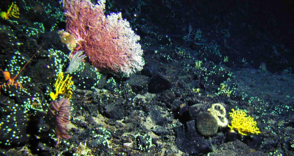
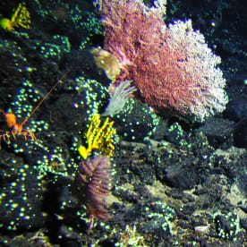
The Kermadec area is one of the world’s most pristine ocean areas. It includes the world’s longest chain of underwater volcanoes and the world’s second deepest ocean trench at over 10 kilometres – deeper than Mount Everest is tall. Its waters are also home to six million seabirds of 39 different species, over 150 species of fish, 35 species of whales and dolphins, three species of sea turtles – all endangered – and many other marine species like corals, shellfish and crabs unique to this area. The region also provides an important migration path for species crossing the Pacific, such as humpback whales and great white sharks.
Bronwen Golder has been leading the Global Ocean Legacy - Kermadec project. “You see subtropical and temperate waters coming together here, and you get a mix of biodiversity from those different ocean realms,” says Bronwen.
Earlier this year Our Changing World's Veronika Meduna spoke with Pew's Matt Rand about global ocean protection.
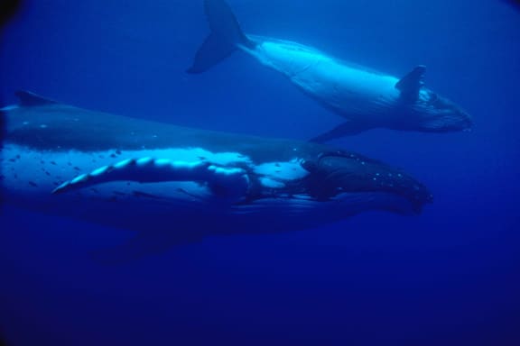
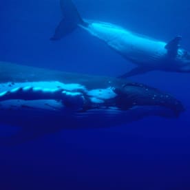
Kermadec waters are an important stop-over for humpback whales, especially mother's with young calves, as they migrate from breeding grounds in the tropical Pacific to summer feeding grounds near Antarctica. Photo: Malcolm Francis/ NIWA
Our Changing World and the Kermadecs
We have had a long standing interest in the Kermadec Islands and surrounding ocean. In 2011 Alison Ballance took part in Auckland Museum’s Kermadec Biodiscovery Expedition. You can find links to the stories that resulted from that expedition, along with other stories, below.
Insect Collecting on Raoul Island
Weeds and Vegetation Plots on Raoul Island
Macauley, Cheeseman and L'Esperance Islands
Fish science at the Kermadec Islands
Kermadec Whales and Dolphins 2012
Supergiant Amphipods from the Kermadec Trench 2012
Deep-sea snailfish from the Kermadec Trench 2012
An expedition to tag migrating humpback whales is currently at the Kermadecs. Whales and calves migrating south from breeding grounds in the tropics pass Raoul Island at this time of year, but team leader Rochelle Constantine from the University of Auckland says we don’t know which population these whales are part of, where they have been in the tropics, and where in Antarctic waters they are heading to feed.
Ocean sanctuaries around the world
The Kermadec Ocean Sanctuary joins a growing number of large open ocean marine protected areas. These marine protected areas range from fully protected marine reserves through to multi-use parks that allow various kinds of fishing.
New Caledonia’s Natural Park of the Coral Sea is a multi-use marine park that covers 1.3 million square kilometres in the Pacific, encompassing the entire EEZ of New Caledonia..
Australia’s Coral Sea Commonwealth Marine Reserve was announced in 2012 and covers 989,842 square kilometres. Just over half will be zoned as a no-take Marine National Park.
The Pacific Remote Islands Marine National Monument is managed by the United States. It lies in the Central Pacific Ocean and covers seven different areas. The monument includes territorial waters around Howland Island, Baker Island, Jarvis Island, Palmyra Atoll, Kingman Reef, and the entire EEZ of Wake and Johnston Atolls. It covers an area of 1.27 million square kilometres. There is some provision for limited customary fishing
The United States’ Papahānaumokuākea Marine National Monument around the northwestern Hawaiian islands covers 362,073 square kilometres.
In 2010 the Chagos Archipelago, a UK Overseas Territory in the central Indian Ocean, was designated as a no-take marine reserve of more than 640,000 square kilometres.
In 2012 a one million square kilometre Marine Protected Area was declared around the UK Overseas Territory of South Georgia & South Sandwich Islands, in the southern Atlantic Ocean; it includes over 20,000 square kilometres of no-fishing zones.
In 2014, the government of Palau announced at the United Nations that it intends to create a national marine sanctuary would make Palau the first country to declare the waters of its entire exclusive economic zone a marine protected area. The sanctuary will include a fully protected ‘no take’ zone of 500,000 square kilometres, which would create one of the largest fully protected marine reserves in the world.
In March 2015 the British Government announced its intention to create a marine reserve around the Pacific Ocean islands of Pitcairn, Henderson, Ducie and Oeno islands. This marine reserve will cover 834,334 square kilometres and be the world's largest fully protected marine reserve.
The community on Easter Island, which is part of Chile, is also in discussion about creating a 720,000 square kilometre marine park around the island.
A number of these and other large ocean marine protected area initiatives were announced on 5 October at the Our Ocean conference in Chile.

