The first day of winter began balmy, if damp, for much of the country - but forecasters say it won't last much longer.

Photo: 123RF
Whangarei recorded a not quite tropical 18 degrees around midday today - and Auckland and Tauranga weren't far behind with a rainy 17 degrees.
New Plymouth had a showery 15 and Wellington turned on a surprising 16 degrees. Temperatures in the central North Island were veering towards wintery, though, with 14 in Taupo.
Heading south, Christchurch topped the country at midday at almost 19 degrees, but it was chillier elsewhere, with 12 in Nelson and Dunedin managing 14 degrees. Alexandra recorded the midday low at just over 7 degrees.
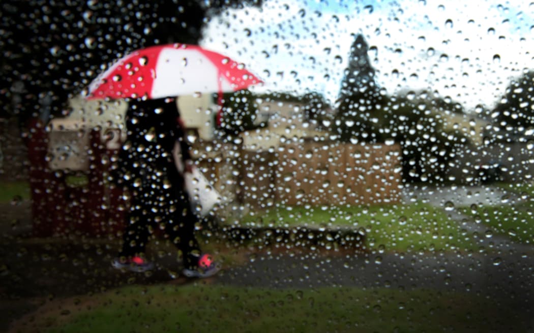
Photo: RNZ / Diego Opatowski
However, MetService has issued heavy rain warnings for northern and central parts of the country.
The are warnings in place for the Northwest of the South Island, Mount Taranaki, Tongariro National Park, Bay of Plenty and northern Gisborne.
Forecaster Allister Gorman said the rain could cause rivers and streams to rise rapidly, and bring flooding and slips.
He said it was part of a weather system that looks set to hang around, and that the thunderstorms may be accompanied by heavy bursts of rain.
After the low crosses New Zealand during Wednesday and early Thursday, the wind flow changes from northerly to southerly letting the rain into southern and eastern areas as well, MetService says.
Temperatures will fall and bring more snow to the lower South Island, most likely above 400 metres.
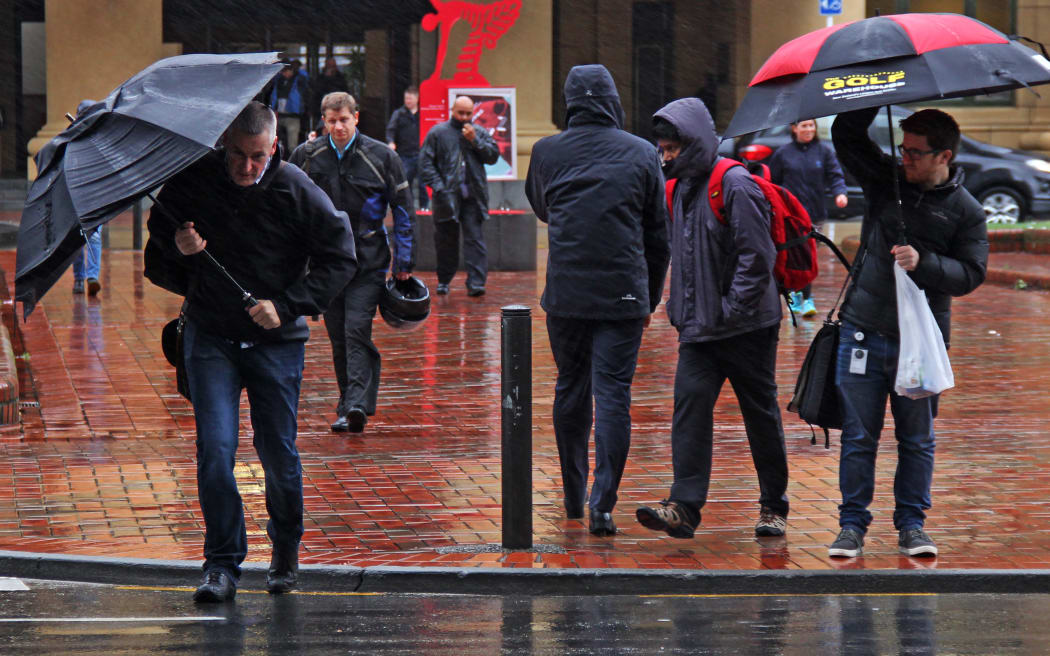
Photo: RNZ / Alexander Robertson