
Snow showers are forecast in some areas of the South Island today and will spread north to affect some North Island roads later this afternoon and evening.
MetService is forecasting snow down to 200 metres and cold southwesterly gales in Dunedin.
The Lewis Pass is also due to receive snow but it is likely to clear early afternoon.
Snow showers are expected throughout the day on the Milford Road and near the Homer Tunnel.
In the North Island, showers are forecast to turn to snow for a time late this afternoon, affecting both the Desert Road and the Napier-Taupo Road.
Flooding on Otago roads
And South and West Otago have been hit by road flooding and slips.
Clutha District Council said the areas most affected were West Otago, Pomahaka, Popotunoa, Clinton and the Catlins.
Second cold snap in weeks
In the lower South Island's last cold snap, snow fell in Southland, central and eastern Otago, and parts of Canterbury, with 15 to 25 centimetres recorded in coastal Otago near Dunedin. The icy weather swept the lower North Island causing road closures and disruption to ferry travel.
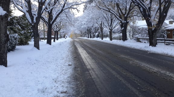


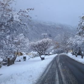
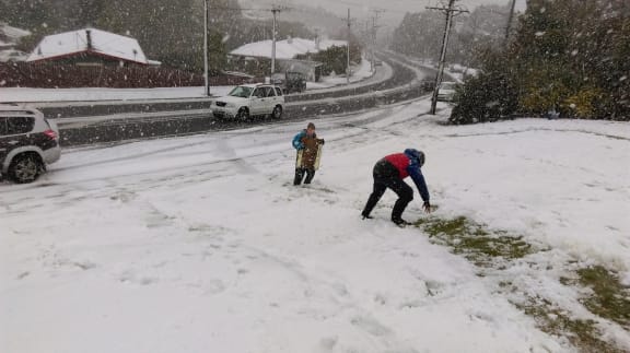
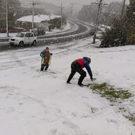
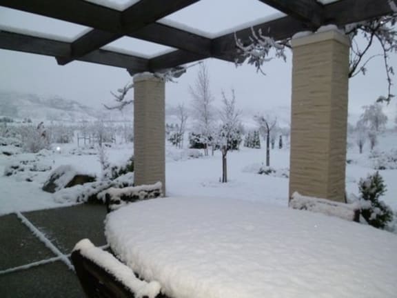
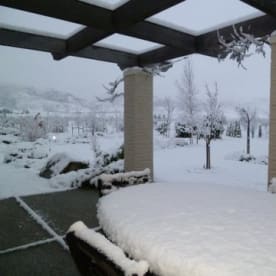


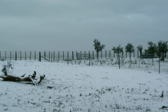

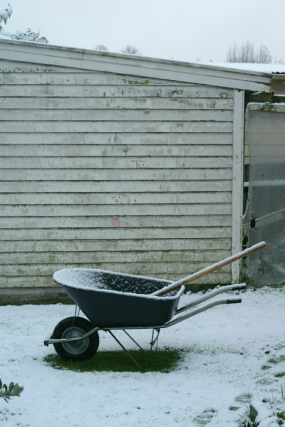


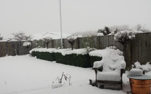
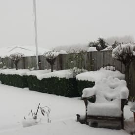
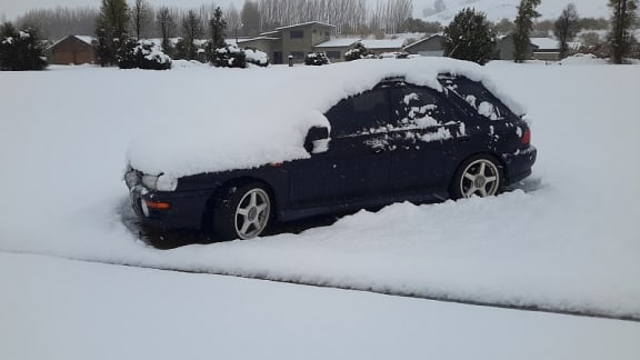
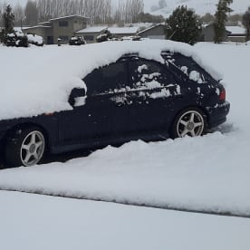
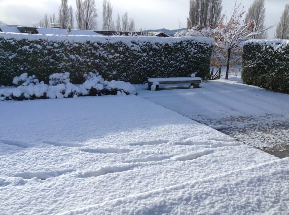
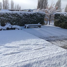
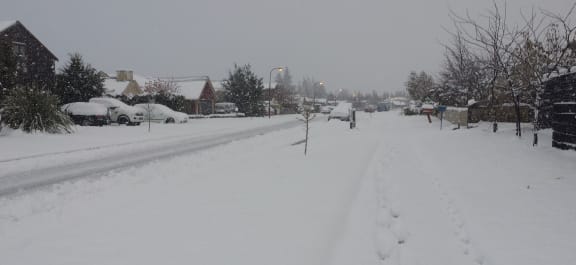
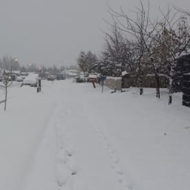
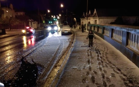

Images from the wintry weather on 24/25 May.

