The current El Nino weather pattern will continue for at least the next three months, according to the National Institute of Water and Atmospheric Research (Niwa).
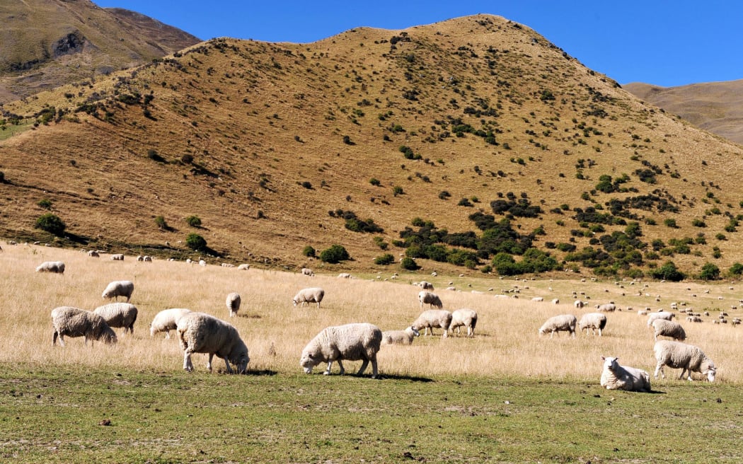
Photo: 123rf.com
El Nino can lead to intense storms in some places and droughts in others, and the current one is one of the strongest on record.
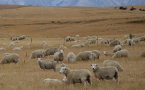
In New Zealand El Nino caused drier-than-normal conditions in east coast areas and more rain than normal in the west.
In its latest seasonal outlook, Niwa said the east of the North Island was most likely to be hotter than normal, and rainfall was most likely to be below normal for the north of the North Island.
However, the west of the South Island was forecast to get more rain than normal.
Soil moisture levels were most likely to be below normal for the north and east of both Islands.
River flows would also be lower than normal in the north of the North Island, and the east of the South Island.
Niwa said the El Nino conditions would start to ease in April.
The Ministry for Primary Industries said recent rain had been a welcome respite from ongoing dry weather conditions in much of the country, but farmers in drought-affected parts of New Zealand would continue to feel the impacts of El Nino for months.
MPI director of resource policy David Wansbrough said in many of the drought-hit areas, particularly Canterbury and Marlborough, the rain was a great morale booster.
"Crop farmers have had a better start to the year, as any good rainfall like this really helps new crop growth, but where pasture has died from over a year of dry weather, more rain will be needed to break the drought and it will be months before production recovers."