A bus blown off the road in Mackenzie Country was lucky not to roll down a steep bank, police say, as heavy rain and winds move up the country.
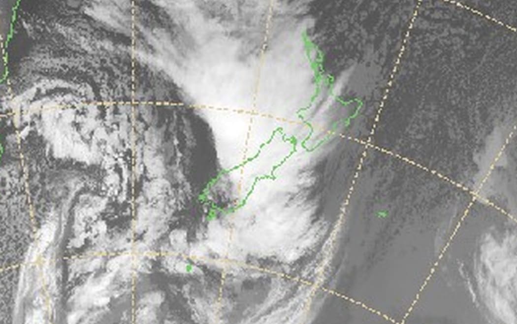
A satellite image from 11am shows a front sweeping across New Zealand, bringing heavy rain, strong winds and snow. Photo: MetService
MetService has warned of heavy rain and severe northwest gales today for much of the South Island and lower and central North Island.
View the latest severe weather warnings on the agency's website
Senior Constable Brent Swanson said the bus, carrying 30 tourists, was on State Highway 8, just east of Burke's Pass, when it was struck by a strong gust.
The driver kept control as the bus was pushed across the road and onto the grass edge, and managed to bring it to a halt, Mr Swanson said.
"He managed to keep the bus upright through some good luck - and another two or three metres, he would have been down a very steep bank, and the bus would have rolled a number of times."
The driver was treated for shock and mild hypothermia but none of the passengers were injured, Mr Swanson said.
The passengers were taken to nearby Kimbell, and were waiting for a new bus to arrive from Timaru so they could continue their journey.
Mr Swanson said the winds had eased in the area but heavy rain was making road conditions difficult.
Severe weather warnings
MetService warned of a high risk of thunderstorms, with 90-110km/h winds in Southland and a moderate risk of the same along the West Coast into the afternoon and evening.
About 200-300mm of rain was expected to hit West Coast mountain ranges between 9am Wednesday and 9am Thursday.
Snow was also expected on several South Island main roads, including 20-30cm between Wednesday and Thursday evening on State Highway 94 at Milford Road, and 5-10cm or more on State Highway 73 around the summit in Arthur's Pass.
Strong winds had caused problems on State Highway 8 between Twizel and Fairlie, with extra care advised for high-sided vehicles and motorcyclists.
Motorists on State Highway 1 between Darfield and Methven and Timaru and Rolleston were also warned to take care.
A slip had earlier blocked part of State Highway 6 near Haast in the South Island.
Meteorologist Tom Adams said the impact was starting to be felt with significant rainfall in Milford Sound, where up to 138mm had fallen in the last 12 hours.
A strong northerly was blowing ahead of the rain front, he said.
It was bringing 122km/h gusts in Fiordland and 93km/h gusts in Wellington's hills.
The National Institute of Water and Atmospheric Research's modelling predicted Wellington would see 150km/h gusts around 3am.
The heavy rain on the West Coast, Canterbury and Otago was expected to cause lakes and rivers to rise, which could lead to flooding and slips.
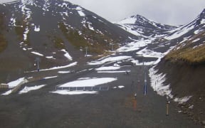
'Dust on crust' in Southern Alps
Avalanche forecasters also warned about dangerous conditions developing in backcountry areas.
They said the recent fine period had produced a shallow snow pack, which would become weak when new snow was added.
The Mountain Safety Council said this "dust on crust" effect could be widespread throughout the Southern Alps, east of the divide.
It advised people to check the avalanche forecast and prepare carefully for backcountry trips.