There is a risk of severe thunderstorms, with wind gusts over 110km/h and possibly a small tornado in Westland, Buller and Fiordland, MetService has warned.
Photo: 123RF
The gales and heavy rain and winds that moved up the country yesterday have started to ease, but another weather system will move on to the South Island bringing more heavy rain into Westland and northwest gales into Canterbury.
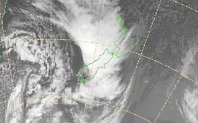
Some heavy rain this morning about the North Island, incl. AKL & Welly. Radar--> https://t.co/Yjbq0jxdqz ^CL pic.twitter.com/6QOxVp5v8o
— MetService (@MetService) July 13, 2016
View the latest MetService severe weather warnings.
Transport agencies have issued a snow warning for Arthurs Pass, Lindis Pass, Porters Pass and Lewis Pass and motorists are advised to carry chains.
New Zealand Transport Agency urged caution for motorists travelling on State Highway 6 between Westport and Greymouth because of surface water and debris on the road.
State Highway 94 along Milford Road in Fiordland was expected to receive 20 to 30cm or more of snow by this evening, and further snowfall was considered likely overnight and tomorrow.
MetService said there is a possibility of severe thunderstorms south of Harihari between midnight and 7am tomorrow, and north of Harihari from 6am to midday.
Flooding was still affecting State Highway 6 from Westport to Greymouth and from Haast to Whataroa.
Overnight downpours left surface flooding on roads north of Wellington and flooding at the Hawkestone motorway on-ramp, and drivers in Auckland were also advised to take care due to road conditions.
Weatherwatch commentator Richard Green said the next cold front would hit the South Island tonight before moving north.
"It looks like we're going to see those winds continue today ... those heavy showers, but more snow for the South tonight," he told Morning Report
He said the main upside was that the country's skifields would benefit from the wintry chill, with snow down to about 1000m in the North Island.
Winds were expected to continue in Canterbury into the evening up to 130km/h and Wairarapa tomorrow up to 120km/h.
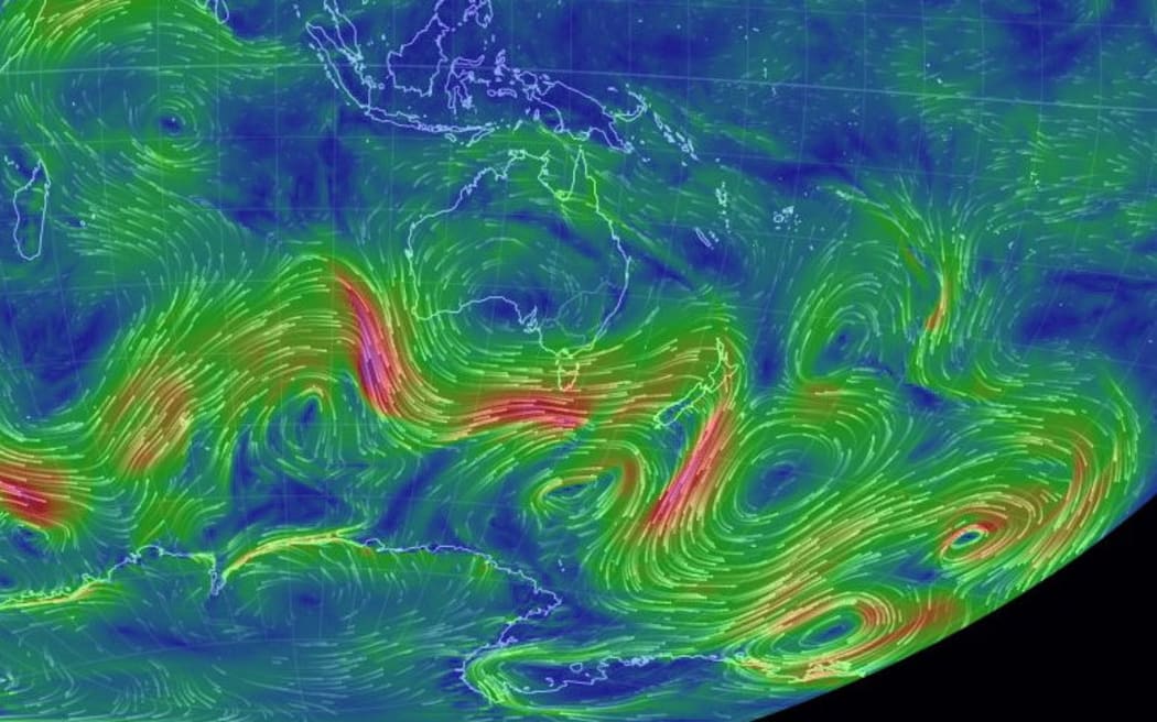
Periods of strong winds are expected to continue over the coming week. Photo: Twitter / Niwa Weather
Niwa Weather also tweeted that two more storms moving south of Australia would bring more strong winds over the next seven days.
The wind peaked at 130km/h near Wellington last night, while flooding affected parts of both the North and South islands.
Metservice meteorologist Emma Blades said the first cold front had passed, but another was expected to hit overnight and continue north tomorrow.
"It's only a short respite really, so we're expecting some more northwest gales ahead of that, another burst of heavy rain, mainly for western parts of both islands.
"And certainly some large cumulations around Westland - not unusual, it's a very wet area of the country."
MetService warned heavy rains were expected in the western parts of both islands into the evening and on Friday morning.
Westland would be the worst hit, with 100mm to 130mm of rain expected over 12 hours, with thunderstorms bringing peak falls of up to 20mm an hour.
MetService said there was a moderate risk of thunderstorms around Buller until late in the morning, with a low risk for Bay of Plenty.
Marlborough, Wellington, Wairarapa, Taranaki, Whanganui and Taihape were expected to have winds gusting up to 140km/h this morning, but warnings were lifted for all but Wairarapa and Canterbury for the rest of the day.