Brace yourselves, North Islanders - the south's deep freeze is on its way.
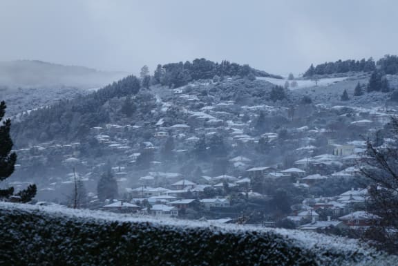
MetService says a huge low pressure system that has brought snow and ice to large swathes of the South Island since Wednesday is starting to move up the country.
Snow and heavy rain is forecast to hit Hawke's Bay and Taihape from tonight.
View up-to-date severe weather warnings by MetService
While the worst of the weather is expected to move north, extreme cold temperatures are still on the way for many parts of the South Island.
An overnight low of -12°C was forecast for Alexandra tomorrow, -10° for Queenstown and -14° for Mount Cook village.
In a briefing today, NIWA said even a temperature approaching -9°C would set a new record for Queenstown.
If that happened, it would "shatter" the town's all-time coldest August temperature of -7.8°C, which was recorded on 14 August 1972, it said.
MetService forecaster Erick Brenstrum told Checkpoint with John Campbell that clearing skies and a dying southerly had created perfect conditions for frost.
"Some of these smaller places a wee bit higher up like Ranfurly could push towards -10°C to -15°C."
This would still fall far short of the New Zealand record of -25.6°C at Ranfurly in 1903, he said.
Worst of the weather moving north
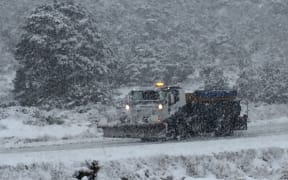
MetService duty forecaster Peter Little said there were still heavy snow warnings for inland Canterbury and Kaikoura, where 15cm to 25cm of snow could accumulate above 400m today and tomorrow.
But the focus was now on the north, he said. "Most of the heavy system ... looks like it's going to affect the Hawke's Bay region.
"We're talking about quite significant amounts of snow."
The agency was forecasting up to 60cm of snow to fall on the Napier-Taupo Road overnight and throughout the weekend, he said.
Up to 50cm of snow could accumulate above 400m, with lesser amounts settling down to 200m above sea level.
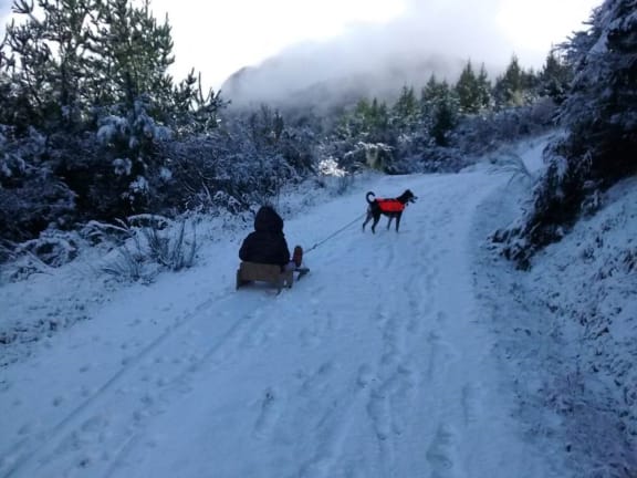


Send us your snow pictures at iwitness@radionz.co.nz
MetService was also warning of heavy rain in coastal parts of Hawke's Bay, Mr Little said.
"We're expecting 150 to 200mm of rain over a 33-hour period... Looking at historical data, the average rainfall is about 50 to 60mm [for all of August]."
That amount of rain - in a region that has had very little rain this winter - could cause rivers and streams to rise rapidly, and could produce slips and surface flooding, he said.
Traffic warnings in place
Hailstorms caused several road accidents in Christchurch today, and drivers were asked to slow down or pull over if another one hit.
View up-to-date travel warnings on the NZTA's website
Transport for Christchurch said several nose-to-tail crashes had been reported around the city.
The New Zealand Transport Agency (NZTA) also warned that the weather could also affect travel over the Rimutaka Hill Road.
Hurricanes supporters travelling from the Wairarapa for the Super Rugby final at Westpac Stadium should either catch the train home or stay in Wellington on Saturday night, rather than driving back over the hill late at night, the agency said.
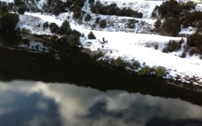
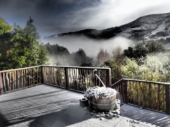
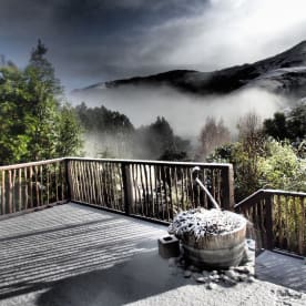
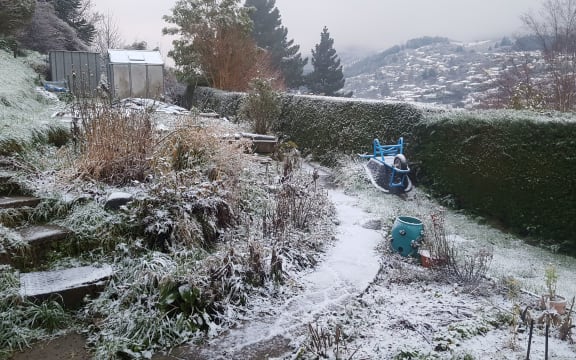
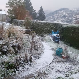
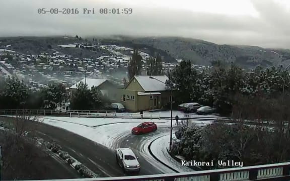
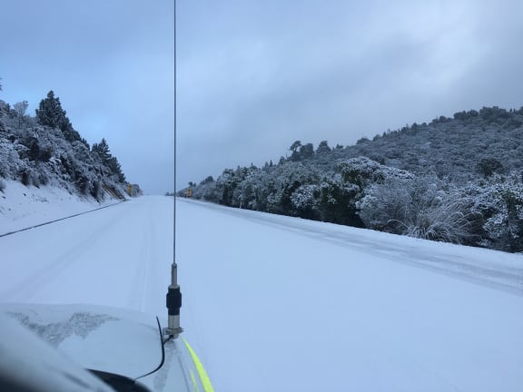
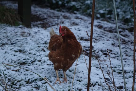
The late winter blast has caused widespread disruption in the South Island over the last few days, with snow settling in places as far afield as Timaru, Glenorchy and Dunedin.
Will this homemade ski slope get enough snow for its first run? #snow #timaru pic.twitter.com/BnlNKW2gqI
— Fujitsu Bubbles (@NZBlu) August 4, 2016
Sent in this morning from #MtCook village. @MetService @ONENewsNZ @NewshubNZ #KnowBeforeYouSnow pic.twitter.com/nQUhA3G9ik
— NZ Mountain Safety (@nz_msc) August 4, 2016
Just starting to snow as we crested the Rimutaka summit #Brrrr!
— Andrew Frame (@NapierinFrame) August 4, 2016
Snow forced all Dunedin primary and intermediate schools, as well as kindergartens, to close for the day today, while some high schools had a later start.
State Highway 1 between Pine Hill and Waitati was closed to all traffic early this morning.
The NZTA warned roads were still icy, with towing restrictions in place on several highways, and drivers needed to take care around the country.