A plan for tackling work in Christchurch's residential red zone has been laid out by the group tasked with redeveloping the quake-ravaged area.
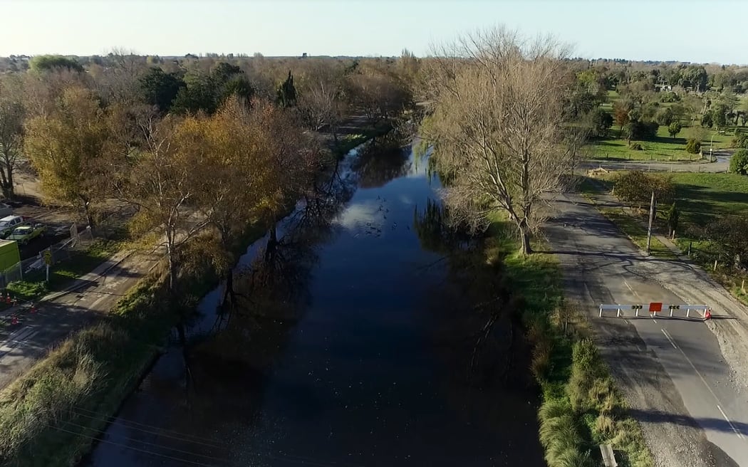
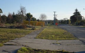
Avon River - Red Zone Photo: Frank Film
Regenerate Christchurch has announced it planned to split work on the Avon-Ōtākaro corridor into three different areas and projects.
More than 400 hectares of land that borders the Avon River was declared uneconomic to rebuild on after the 2011 earthquake, making it the largest chunk of red-zoned land in the city.
Earlier this year, the Canterbury Earthquake Recovery Authority wound up its work in the city and was replaced by the Crown group Ōtākaro Limited and the Regenerate Christchurch entity.
Regenerate Christchurch chief executive Ivan Iafeta said the decision to split the land into three projects would allow less complex work in one part of the corridor to begin.
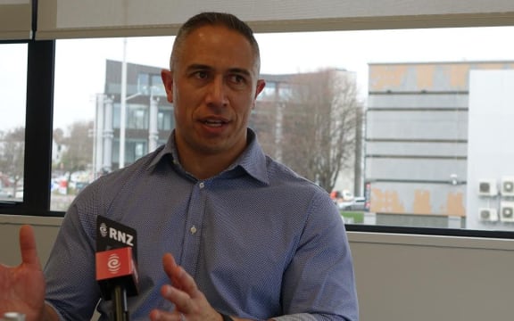
Regenerate Christchurch chief executive Ivan Lafeta Photo: RNZ / Maja Burry
"What it does is identify three areas where there will be parallel work streams, and what we are trying to balance is getting underway with something meaningful, with trying not to bite off the most difficult part of the residential red zone, that will take quite a long time [to complete] because of the complexities."
The first step would be preparing a draft outline for a regeneration plan, looking at costs and a timeline for the smallest area of the corridor, which ran along the river from Oxford Terrace to Stanmore Road, Mr Iafeta said.
A former red zone resident and Avon-Ōtākaro Network community group co-chair Evan Smith supported the approach.
"It's really good to see something actually happening in the red zone.
"There's a lot of value in piloting engagement and regeneration planning on a small, bite sized piece of the red zone."
Mr Lafeta said the second area, which was by far the largest of the three stretching from Stanmore road to just before Bexley, was where the majority of community proposals were, making the job the most complex.
Local and central government had asked his organisation to assess the feasibility of an international water course in the area, which could have major implications on future infrastructure, such as roading, he said.
Today's announcement was an important planning step, but no decisions on what the red zone would look like in the future had been made yet, he said.
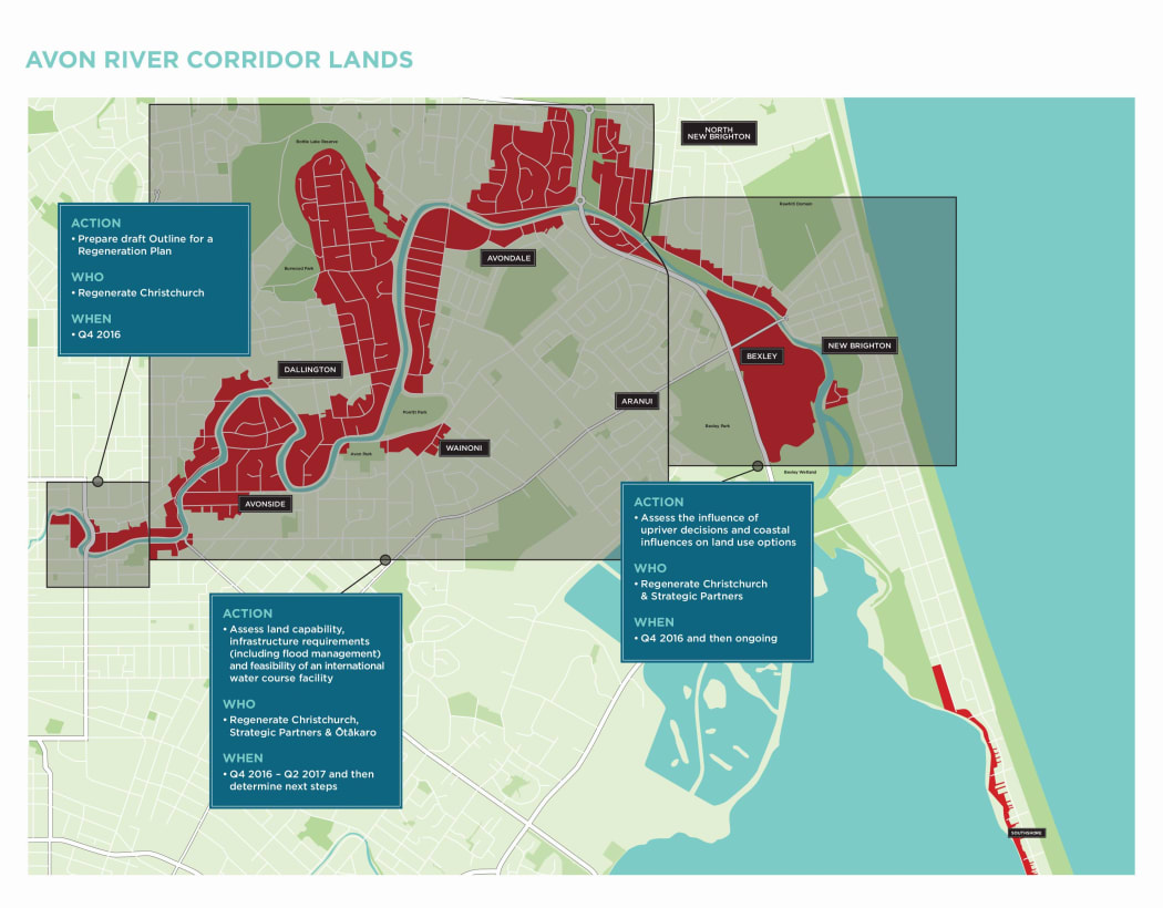
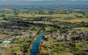
Photo: Supplied / Regenerate Christchurch