File photo. Photo: RNZ / Alexander Robertson
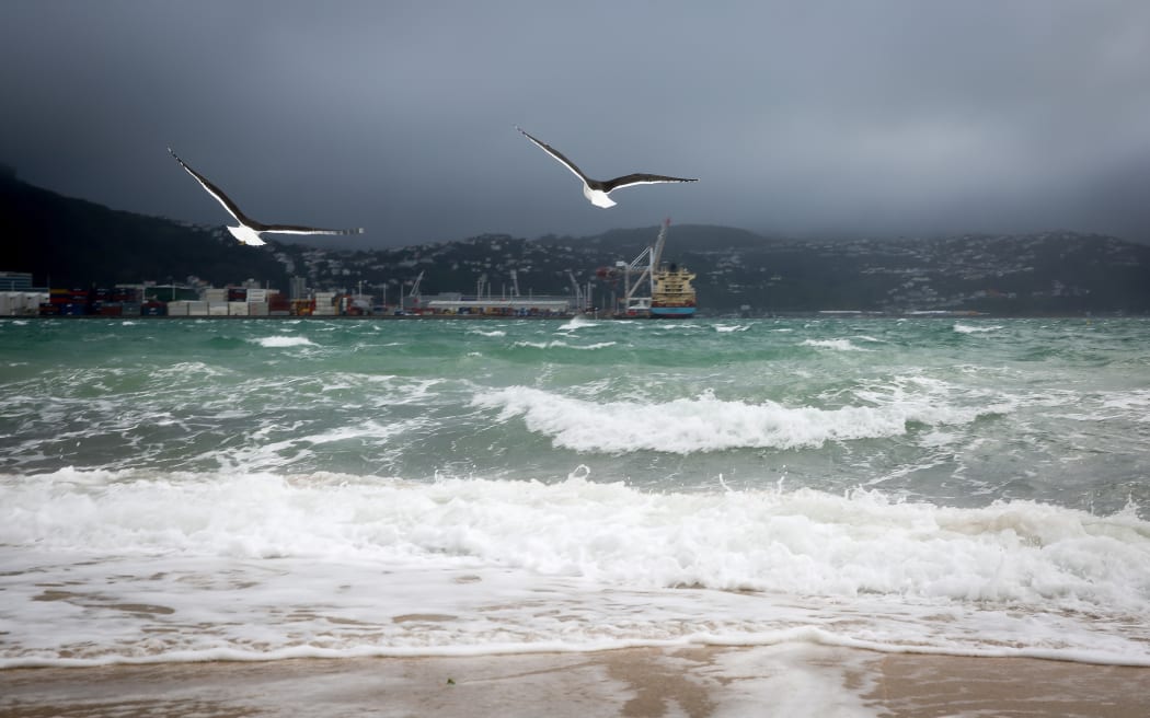
Metservice said a cold front began moving up the country overnight and will bring heavy rain to Canterbury right through to Taranaki.
It also warned of north-west gales in exposed places, with a severe gale warning in place for Canterbury and Wellington.
Winds of up to 140kmh pummelled the Canterbury high country this morning, and got up to 115kmh around the Rimutaka mountain ranges.
Gusts of up to 130kmh are forecast.
In the Tararua range and Mount Taranaki, about 100mm of rain is likely to fall today.
At peak intensity, up to 30mm of rain could fall per hour.
"This amount of rain will cause rivers and streams to rise rapidly, surface flooding and may lead to slips," Metservice said.
"Winds of this strength could bring down trees and powerlines, damage unsecured structures and make driving hazardous," the service said.
Metservice meteorologist Kyle Lee said the bad weather was expected to persevere through the coming week.
"Unfortunately it looks like this is the trend for the next week or so - still continuing to see fronts.
"Until we get that high pressure coming in over us this will keep happening."