The reprieve from this morning's wet and gusty weather will continue tomorrow, but rain will return on the weekend, MetService says.
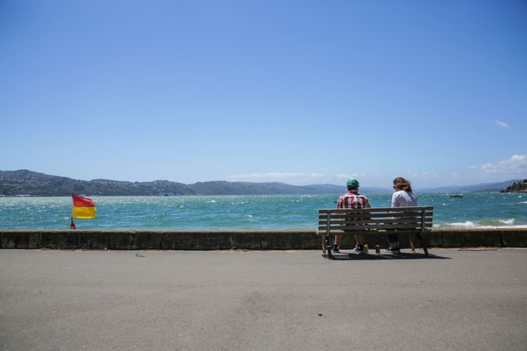
A few unfazed souls could be seen at Wellington's Oriental Bay shortly after the unusually strong winds eased. Photo: RNZ / Rebekah Parsons-King
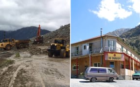
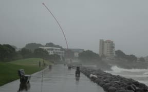
Gale-force winds and heavy rain lashed much of the country this morning, closing roads, cancelling flights and cutting power. Landslips have cut off Arthur's Pass and Otira in the South Island and could take up to two days to clear, with dozens of people affected.
The extreme low - known as a "bomb low" - has now passed over the country, which is experiencing bouts of sunshine.
Quite an impressive satellite pic (@CIRA_CSU) of #NZstorm as it churns away to the s/e. Likely as strong as a cat-2 hurricane: 960-some mb. pic.twitter.com/tFTbIMwmfG
— Niwa Weather (@NiwaWeather) January 19, 2017
The situation would be more settled tomorrow, until the weekend brought bouts of rain, said a MetService meteorologist, Tom Adams.
"There is another low pressure front rolling in from the Tasman on the weekend, it will keep its effects mainly out of the North Island on Saturday - it should be a mainly dry day," he said.
"In the south there will be some rain in the morning that will spread to the eastern parts of the island later in the day."
Recent weather systems have been incredibly fast-moving, he said.
"We've seen severe weather come in one day with torrential rain and gale-force winds with gusts over 100km/h all within the space of 24 hours or so, then it moves away and things quickly become fine," Mr Adams said.
"That's the pattern we've been getting recently and it may continue for a while."
Sun comes out in Wellington
Today's quick transition in Wellington amused some residents, who were quick to poke fun at the capital's reputation for wild weather.
Once more Wellington's weather unfairly maligned. #weatherbomb my derrière. pic.twitter.com/Cv0LyQzqnH
— Justin Lester (@justin_lester) January 18, 2017
@toxaq @Bandit "Weather Bomb" - Fig. The explosion of confused/surprised tweets resulting from calm sunny weather in Wellington
— David Frampton (@majicDave) January 19, 2017
NIWA meteorologist Ben Noll said the winds that hit the Wellington region this morning had the strength of a category two Australian tropical cyclone.
Gusts of almost 140km/h hit Baring Head, near the entrance to Wellington Harbour, but Mr Noll said winds at ground level were more likely in the category one cyclone range of 91-125km/h.
These kinds of low-pressure systems were not unusual in New Zealand, but more commonly came in midwinter, he said.
Cold southwest winds were expected to travel up the country by tomorrow morning and snow could hit the Southern Alps tonight.
That would precede the "potent storm" due to hit the country late on Saturday, he said, which would affect similar locations to today's storm.
The rain would be beneficial for extremely dry areas such as Northland and Hawke's Bay, but any relief would be short-lived as those regions returned to hot, dry weather next week.
Meanwhile, the South Island could expect to continue experiencing southwest winds and showers throughout next week.
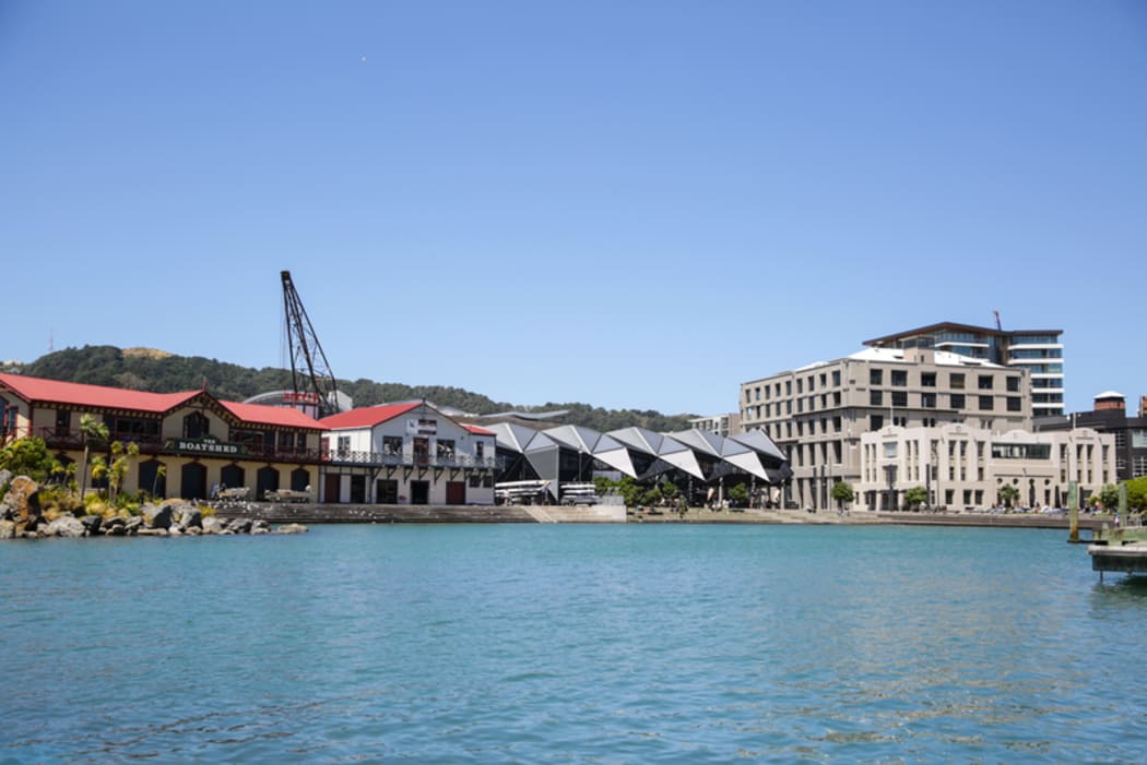
It was a still afternoon at the waterfront lagoon but MetService warned rain would return at the weekend. Photo: RNZ / Rebekah Parsons-King