
The fine weather that has blanketed the South Island will come to a rapid end with an impending deluge, but MetService says temperatures will stay high.
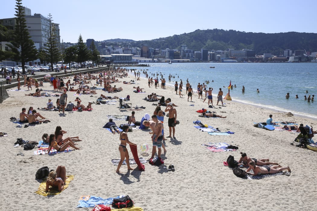
Photo: RNZ / Richard Tindiller
MetService meteorologist April Clark said the South Island is looking to get the same scorching temperatures as yesterday but that will likely wear off by tomorrow.
More than 20 areas around the country saw temperatures creep above 30°C yesterday, with Dunedin Airport taking out top spot at a sweltering 33°C.
The fine weather was mainly located in central Otago and Southland, with Lower Hutt the only area in the North Island to hit those heights.
That trend is expected to continue today, with MetService forecasting 28°C for Dunedin and 26°C for Christchurch.
Ms Clark said the warm weather is because of the northerly winds coming in.
"It's something we call the 'Foehn Effect'. It dumps rain on the western coast of the South Island and those alps really do the east coast a favour and winds dry out as they make it down the Eastwood side of the hills."

Sharon Barnden- enjoying the shade in Petone on 15 January. Photo: RNZ / Richard Tindiller
But MetService meteorologist Brian Mercer said a fast-moving front travelling down the West Coast would bring a rapid end to that.
"We've put Nelson and Westland on [heavy rain warning] watch," he said.
"We're going to get heavy rain moving into the west of the country. Cloud is going to increase during the day and then by night we're going to have rain all up the West Coast of the South Island, through Taranaki and up as far as Northland.
"[It'll] probably miss out Auckland and Waikato until Thursday, but there is the potential of a few showers there on Wednesday."
"Having said that, the east coast - especially places like Hawke's Bay and Gisborne - should be quite nice on Wednesday, and parts of the South Island such as Clutha and Dunedin shouldn't be too bad."
But Mr Mercer said the rain would not necessarily cause temperatures to plummet.
"It's going to be warm.
"This system is all subtropical air, it's not like we're getting cold southerlies running through.
"Maximum temperatures for Auckland is probably about 24°C., Hamilton 24°C, the capital we would be expecting 24°C ... and then down south, Invercargill will be down to about a maximum of 23°C, Dunedin down around 25°C as well. And that's all to do with the increasing cloud."
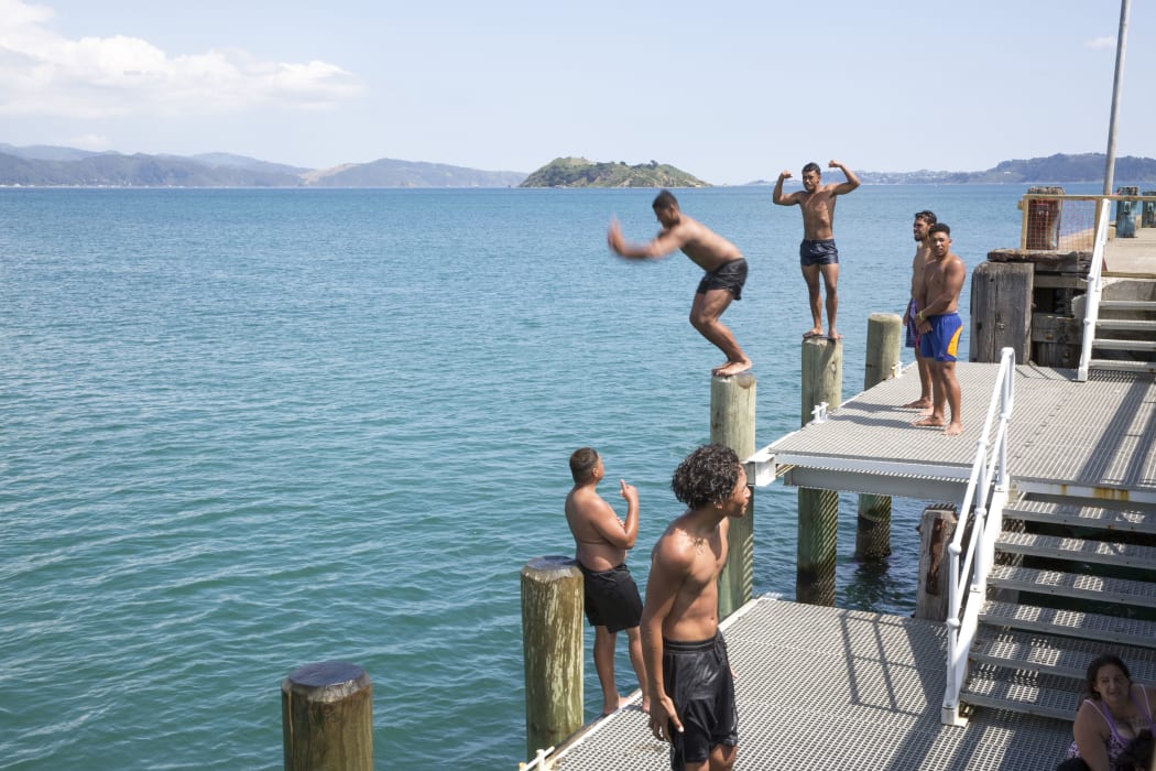
A group of teenagers and kids cooling off at Petone Wharf. Photo: RNZ / Richard Tindiller
Mr Mercer explained recent sweltering temperatures resulted from northerly winds, which released all their moisture while blowing through the Southern Alps.
This released energy, which allowed the winds to heat up quickly, with a similar hot, dry wind to the famed Canterbury nor'wester.
He said the rain would hang around the west coast until Friday night, but exact timing was hard to predict.