While storms and lower temperatures are expected later in the week, New Zealand is still very much in the midst of a heatwave which will peak today or tomorrow.
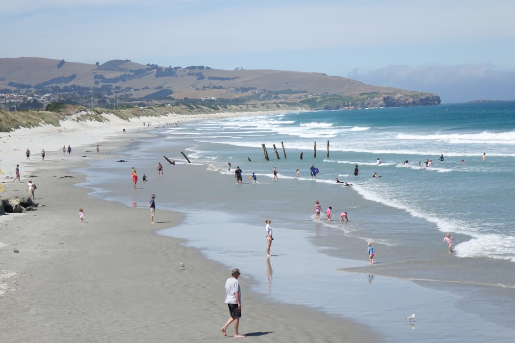
Dunedin residents cool off at St Clair beach. Photo: RNZ / Tim Brown
Lower Hutt's Wainuiomata took yesterday's hottest temperature in the North Island at a toasty 32.3°C. The Central Otago town of Cromwell took the South Island high of 36.6°C yesterday.
MetService said the highest temperature today is an expected high of 37°C in Clyde and Alexandra.
A day to Sizzle in Twizel? Yesterday the maximum recorded temperature was 34.8C at Pukaki airfield, just outside Twizel. Today looks to go one hotter, with 37C picked for Clyde and Alexandra. Phew! ^TA pic.twitter.com/qh1RGtOsJ0
— MetService (@MetService) January 29, 2018
For the main centres, Auckland is expected to hit a high of 27°C today while Wellington trails close behind at 26°C.
MetService meteorologist Tom Adams said widespread areas would be feeling the heat.
"Anywhere that's inland and in the east of the country, particularly in the South Island but also the lower North Island are going to see some warmer temperatures, the reason being we've got clear skies, we've got very warm air over the country, and we've got light northwesterly winds giving a little bit of what's called foehn heating."
Mr Adams said things should cool off after today, with wet weather rolling in on Thursday and Friday.
Schools prepare for heat
Some schools are taking precautions to help students avoid the heat as they return for the year this week.
Darfield High School principal James Morris said the schools 130 Year 7 students were coming back to temperatures of up to 33°C, and possibly warmer tomorrow.
Less than a quarter of the school's classrooms were air-conditioned, he said, so the children would be told not to get too energetic.
"We've got plenty of shade around, we'll be encouraging to keep them out of the sun and we'll get plenty of staff out on duty just to encourage some quieter activities rather than too much running around."
"About 25 percent of the classrooms are air-conditioned, but tomorrow where we've got 850 students beginning we'll be taking some care with them to make sure that we're keeping them as cool as we can keep them.
He said while adolescents enjoyed kicking a ball around, they also enjoyed relaxing with their friends, and would be encouraged to do so in the shade.
The school was also not requiring students to wear the blazer as part of their uniform, and encouraging sun safety.
"And I've given the staff a heads-up just that we need to be aware that regardless it's going to be hot and we just need to be careful to keep things calm and just be careful with keeping things as level as we can, because it is going to be hot and uncomfortable in the classrooms in the afternoons."
Drought hitting farmers
Despite a rain forecast, drought conditions have done serious damage to some farmers.
Federated Farmers representative in Central Otago, Andrew Paterson, said he expected an official drought to called for Central Otago and Southland within the next week.
Droughts have already been declared in the lower North Island and the South Island's West Coast.
Cyclone set to bring wind, rain late in week
Rain and wind is expected for most of the country when Tropical Cyclone Fehi makes its way here. The South Island is in line for a deluge and gale-force winds which could see Alexandra go from a high of 37°C today to a maximum of 14°C on Friday.
Civil Defence staff on the West Coast are to brief the Buller Council on a management plan today in case of extreme weather if Fehi hits the area.
Buller mayor Garry Howard said it could have an effect on low-lying communities right along the coast, and it was possible ports would be closed.
"It's highly likely that notification will be given. At this point in time, Wednesday or Thursday that swell is meant to occur and there'll be discussions that go on to just say how we're going to handle this situation and what preparation is required."
The North Island will not be spared either with heavy rain and gale-force winds expected for western and central areas. The storm is expected to pass quickly and conditions should ease by Saturday.
Until then, it's sleepless nights for those caught out by the fan shortage.
Tips for hot summer nights
Massey University Sleep Wake Research Centre's Dr Karyn O'Keeffe had some tips for those struggling in the heat.
"We have this natural cooling process that we can then mimic by increasing our body temperature slightly before bed. So a coolish, not too hot bath or shower can actually help with the initiation of sleep."
She said all that can be done once asleep, is to keep the bedroom as cool as possible.
She adds snuggling is also off the cards, although you may not feel like it anyway.
"What we know from missing out on sleep is our brain cells slow down, so we don't have the ability to communicate as effectively, make decisions and we can be short tempered, so our relationships can sometimes bear the brunt of it," she said.
Today's weather forecast
Auckland
Fine with a high of 27°C.
Hamilton
Fine with a few clouds and the chance of a shower this afternoon or evening. Will reach a high of 28°C.
Tauranga
Fine spells, a few light showers which will clear this morning. Light winds and sea breezes. Will reach a high of 25°C.
Wellington
Cloud morning and night, otherwise fine with a few gusty northerlies and a high of 25°C.
Christchurch
A fine day, apart from morning low cloud or fog. Northeasterlies. Will reach a high of 32°C.
Dunedin
Fine apart from some low cloud or fog morning and night. Light winds and a high of 31°C.
Invercargill
Fog clearing to a sunny day this morning. Northwesterlies and a high of 30°C.
- MetService