United States scientists are investigating New Zealand's largest fault, the Hikurangi subduction zone, to try to work out the physics behind earthquakes and how they behave.
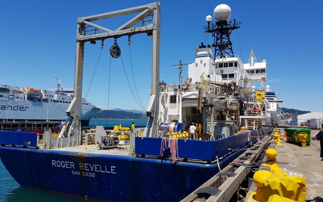
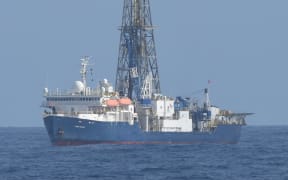
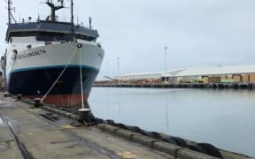
US research ship Roger Revelle in Wellington. Photo: RNZ / Kate Gudsell
The US research ship Roger Revelle left Wellington Port yesterday for the first of three scientific voyages over summer.
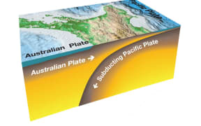
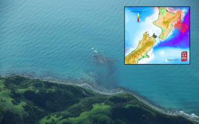
The Hikurangi subduction zone extends along the length of the East Coast of the North Island and is potentially the largest source of earthquake and tsunami hazard in New Zealand.
Subduction zones develop a type of fault that are responsible for the largest earthquakes and tsunamis in the world, such as Japan in 2011.
Samer Naif from Columbia University is leading two of the voyages which are being funded by the US National Science Foundation.
Instruments will be deployed to the seafloor at 168 sites along the subduction zone, they will record electromagnetic waves transmitted by an instrument that will travel along the seafloor controlled by scientists on board.
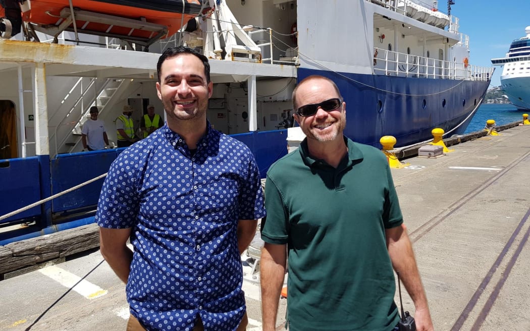
Dr Samer Naif, left, with the captain of the US research ship Roger Revelle. Photo: RNZ / Kate Gudsell
Dr Naif said it's not understood what influences different behaviours at fault zones, but his team is looking at how fluids, or seawater effects earthquakes.
"Where there's more fluids you may have less severe earthquakes, or less frequent severe earthquakes, and maybe you also get more of these silent earthquakes that we're just starting to learn about," he said.
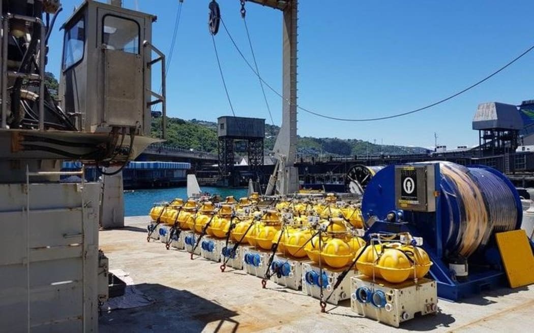
The floats being deployed on the sea floor to study New Zealand's subduction zone. Photo: RNZ / Kate Gudsell
The information collected from the instruments will be used to construct an image, like a medical MRI, of fluids below the seafloor.
"The more and more we learn, the better and better we can inform the engineers and scientists who think about what happens on land and hazards for communities," Dr Naif said.
The northern end of Hikurangi has been experiencing slow slips and silent earthquakes, but that is not being seen in the southern end and the scientists believe there are fewer fluids in the south and energy is being accumulated.
"There's a higher possibility that you might have a larger earthquake event that would create significant groundshaking and so pose a higher hazard."
The US scientists are working alongside researchers from GNS Science, Niwa, and the Universities of Otago and Auckland.
The three research voyages will run over summer and all of the data will be publicly available within two years.