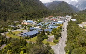
Franz Josef township has about 20 years before the massive stopbanks protecting the community will no longer be up to the job of holding back the wild Waiho (Waiau) River, experts warn.
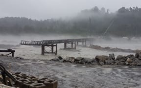
A screenshot from the Transport Agency's live camera when the Waiho Bridge reopened 18 days after it was washed away in flooding in 2019. Photo: NZTA Screenshot
Engineering consultants Land, River, Sea Ltd have reviewed and approved plans by the West Coast Regional Council to extend the floodwalls on the north bank and raise them by 2 metres.
But they warn this should be the last time that happens.
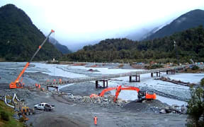
The bed of the Waiho is rising at a rate of 180mm a year as floods bring down gravel and rock from the receding Franz Josef glacier, and the stopbanks have been repeatedly topped up over the years.
"The consequence of a stopbank breach or failure increases every time that a stopbank is raised," LSR said.
"It is not recommended that these stopbanks are raised again after this raise and that serious consideration is given to managed retreat due to the significant nature of the hazard."
Geomorphic data from Lidar and satellite studies have found that the volume of gravel in the river system has increased by 4.3 million cubic metres since 2016 - about a quarter of that in the past year.
In a presentation to the council this week, staff river engineer Brendon Russ revealed design plans for the latest addition to flood defences for the South Westland town.
The government will fund $9.2 million of the work, with the remaining $3m coming from local ratepayers.
New flood defences will be built from the heliport to the 55km corner, as well as a new wall between Rata Knoll and the 'Milton and Others' stopbank.
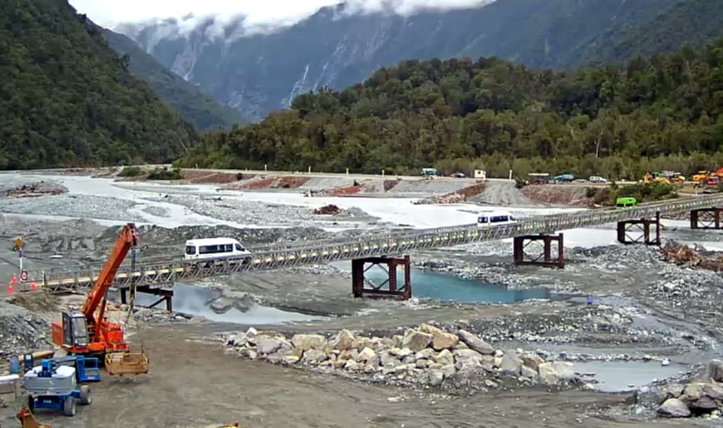
The raising of the Waiho Bridge and its approaches is also included in the proposal.
But the government is withholding another $9m originally approved to top up stopbanks on the south bank of the river, while it reviews at the long-term future of the area, and the farms and properties built on the river's natural flood plain.

Local Democracy Reporting is a public interest news service supported by RNZ, the News Publishers' Association and NZ On Air.