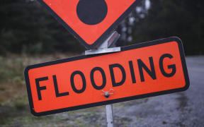
Heavy rain is causing disruption on roads around the lower North Island, while several regions are expected to experience substantial downfalls.
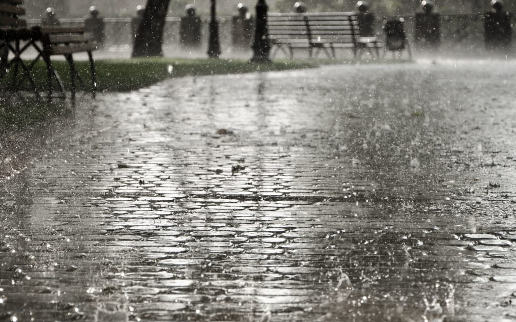
Photo: 123RF
MetService has a heavy rain warning in place for the Tararua Ranges with 20-30mm of additional rainfall expected to hit the area.
State Highway 1 is down to one southbound lane just north of Paekakariki because of flooding.
Grays Road between Plimmerton and Pauatahanui is closed due to flooding.
Paekakariki Hill Road is also closed due to a slip.
In the upper North Island, a heavy rain warning is in place for Bay of Plenty and Coromandel Peninsula.
Bay of Plenty could see between 150-220mm of rain in inland areas, especially about the Eastern Ranges.
MetService warned rain may cause streams and rivers to rise rapidly, while surface flooding and slips are also possible.
Palmerston North is on track to record its wettest December in 30 years.
MetService meteorologist Lewis Ferris told Midday Report in the 24 hours until 9am today 60.7mm of rainfall was recorded at the airport.
Several heavy rain warnings remain in place across parts of the North Island and the top of the South.
Ferris said it would be a wet couple of days and rain was currently disrupting travel around the lower North Island.
Auckland on alert
Aucklanders are being urged to check their devices are charged and keep a torch handy overnight, as wind gusts of up to 60km are expected through to tomorrow.
Vector operations and maintenance general manager Marko Simunac said the wet weather meant there was an increased chance of trees or other vegetation damaging power lines.
He said crews were on stand by to respond to any disruption that might be caused.
People could report losing power in the outages centre online.
Wellington Airport flights disrupted
110 flights in and out of Wellington Airport today have been cancelled or disrupted due to a technical issue with the airport's landing system.
Airways spokesperson Holly Cushen said when the weather was poor landings were reliant on an Instrument Landing System, but currently, this was not operational.
She said the antennae used in the system was replaced but a test calibration flight - which can only happen in fine weather - needed to be completed before it could operate again.
Airways has apologised for the disruption.
Larger planes arriving tomorrow morning from Auckland won't be affected as the system only helps smaller aircraft coming in from the regions.
Taranaki warning
Heavy rain has caused sewage overflows in the New Plymouth district.
There have been two wastewater overflows in Konini Street in Inglewood.
One has gone into a tributary of the Waiongana Stream and the other onto private property.
Inglewood's oxidation pond has also overflowed into the Kurapete Stream.
The district council says has it has informed hapu, iwi the Taranaki Regional Council, Taranaki District Health Board and affected recreational water users.
Warning signs have also gone up advising people not to swim or gather kai for 28 days in affected areas.
East Coast waves
Meanwhile, waves are expected to rise around the East Coast of the North Island tomorrow, as heavy gales hit the rohe.
Tairāwhiti and Bay of Plenty are set for heavy downpours over the next few days.
Swells are expected to peak late tomorrow afternoon or evening.
The highest risk time is typically one to two hours of high tide.
This is just before 4pm tomorrow, and between 3 and 4am over the next few days.
South Island
Meanwhile in the South Island, Tasman, Motueka and Eastern Marlborough are also under a heavy rain warning.
The Kaikōura Coast is predicted to be the worst hit area with 100-180mm of rain expected to fall.
Parts of the Canterbury region including the plains north of Ashburton, the foothills and Christchurch could be hit with up to 160mm of rain.