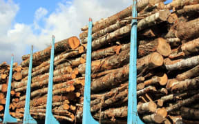
The Marlborough District Council is using drones to monitor the impact of forestry on what it says is the most challenging terrain in New Zealand.
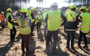
The chair of the council's environment committee, Peter Jerram, said using drones in previously inaccessible areas would make it easier to more accurately monitor forestry and other industries.
He said the council had a legal obligation to keep a close watch on forestry in order to protect the Marlborough Sounds' fragile hillside and coastal environments.
"What we've got in Marlborough is some of the steepest production forestry land in New Zealand - and some of the most erodable.
"We think that we need to keep a pretty high standard of forestry operations here, to ensure that we maintain the sustainability of our natural resource."
Mr Jerram said the industry had improved compliance in its development of roads and "skid sites" - the areas where logs are dragged before transport.
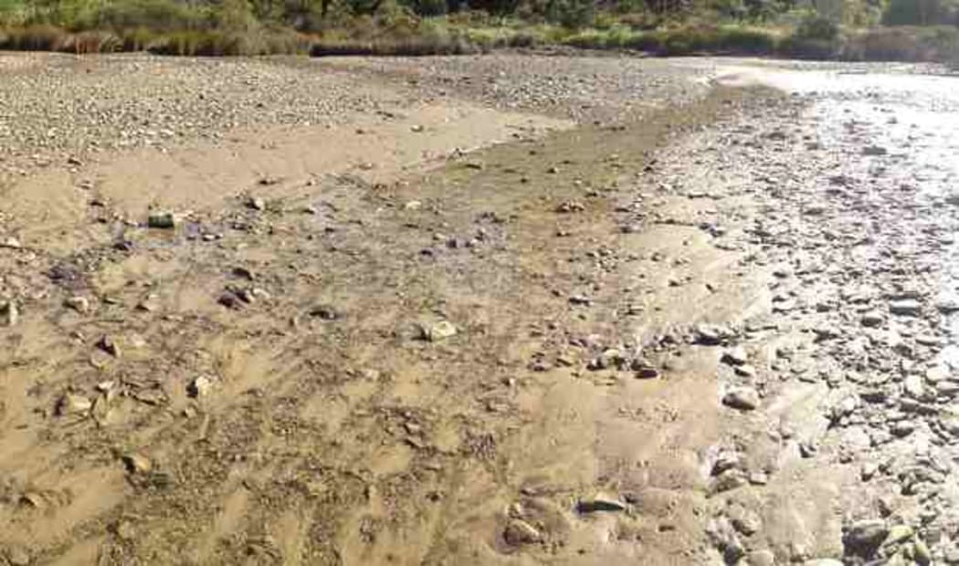
Stream in Hitaua Bay affected by sedimentation from forestry. Photo: Rob Davidson