A Marlborough township exposed to Cook Strait urgently needs a new emergency exit route in case a tsunami hits, say locals.
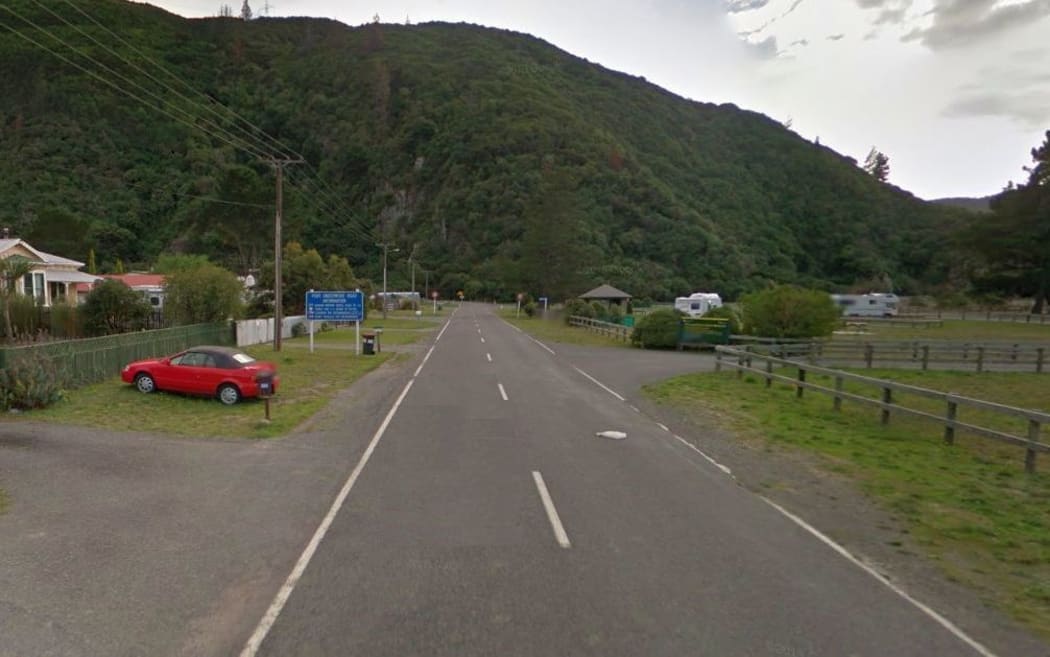
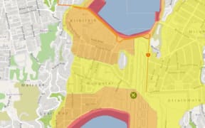
There is just one road in and out of Rarangi, which can back up at the base of the nearby hill, say locals. Photo: Google Maps
Rarangi, north of Blenheim, has about 130 properties and is designated as a hazard area, but there is only one road in and out.
Local resident Trudie Lasham wants the council to consider it as a priority in its proposed environment plan, to which she has made a submission under its Coastal Future category.
She said during the November 2016 earthquake, residents seeking higher ground struck traffic problems on the only nearby hill.
One family spoken to by RNZ at the time had to spend the night there.
Victoria Greenwood-Loose, her partner and young children eventually made it to the Civil Defence welfare centre at Tuamarina - about 10 kilometres away.
She said they made the decision themselves to leave for higher ground, after the quake centred near Kaikōura began gently and then hit with a tremendous force.
"We've always been told if it goes longer than two minutes then you just get out. It was so strong that we just had to run - and we did," she said.
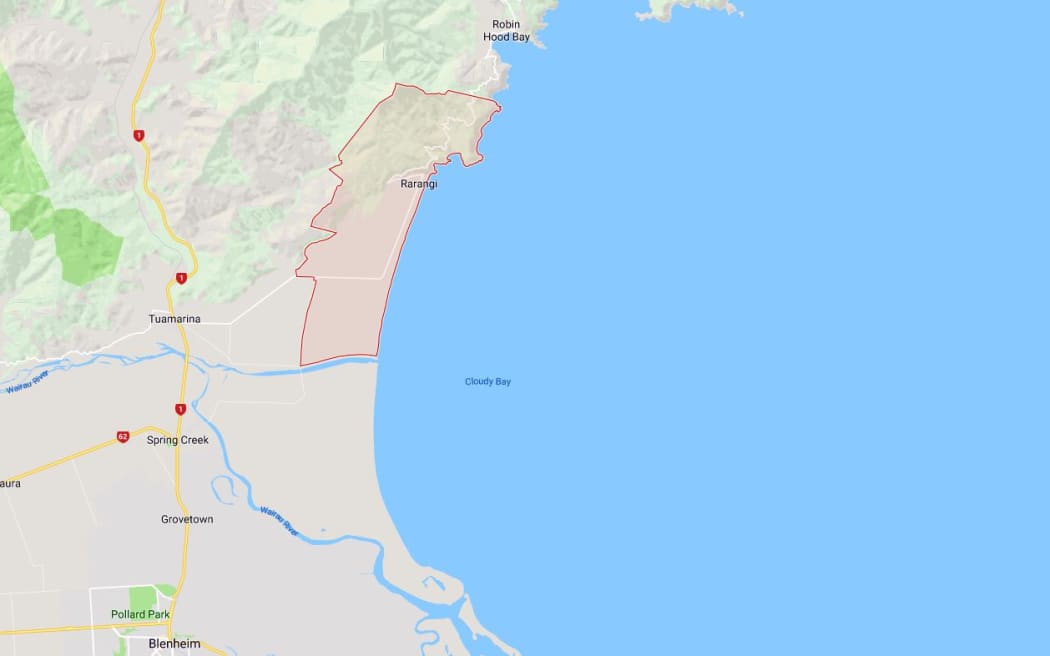
Rarangi is on the coast north of Blenheim. Photo: Google Maps
Mrs Lasham said others living at the other end of the beach who were able to get to Tuamarina sought refuge there via the only road in and out.
She said another legal road existed on paper, which could be an extra, safer route, but it was now in alternative use by the land owner.
"There was no discussion about this paper road and that's what I put it in my submission to highlight the fact there needs to be an alternative route out of the area for villagers."
Mrs Lasham said she tried to start a conversation on the need for an alternative escape as early as 1997, when she was the residents' representative on the Rarangi Planning Study.
"That's where it came up, that there was a legal road going from the top of Rarangi Road down to the Whites Bay Road, but there was no mention then that it should be preserved.
"I know these paper roads were designed to be put aside to be used some time in the future, should the need arise."
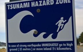
Mrs Lasham said the township would have only minutes to evacuate in the event of a large tsunami, particularly if one originated in the Cook Strait.
In February 2016 the Marlborough District Council said a major tsunami striking the Marlborough Sounds would be catastrophic and residents in coastal communities needed to be more aware of the risks.
The warning was triggered by new modelling done by GNS Science on how a local source tsunami might behave, and prompted a series of open days in several Marlborough communities to explain the extent of the hazard, the signs of a tsunami and actions people needed to take.
Nine months later the warning was put to practise when the magnitude 7.8 quake struck, triggering a tsunami warning along coastal areas from Canterbury to Marlborough.
The council is seeking through its plan process to avoid expansion of residential activity in Rarangi, due to uncertainty over tsunami risk, the fragile local ecology and insufficient infrastructure to support expansion.
The council is well underway with the process to update its environment plan, which has been years in the making. It aims to merge the region's policy statement and two separate resource management plans into a single resource management document for the district.
Public discussion on Marlborough's coastal future, which attracted more than 1000 submissions, start this month.