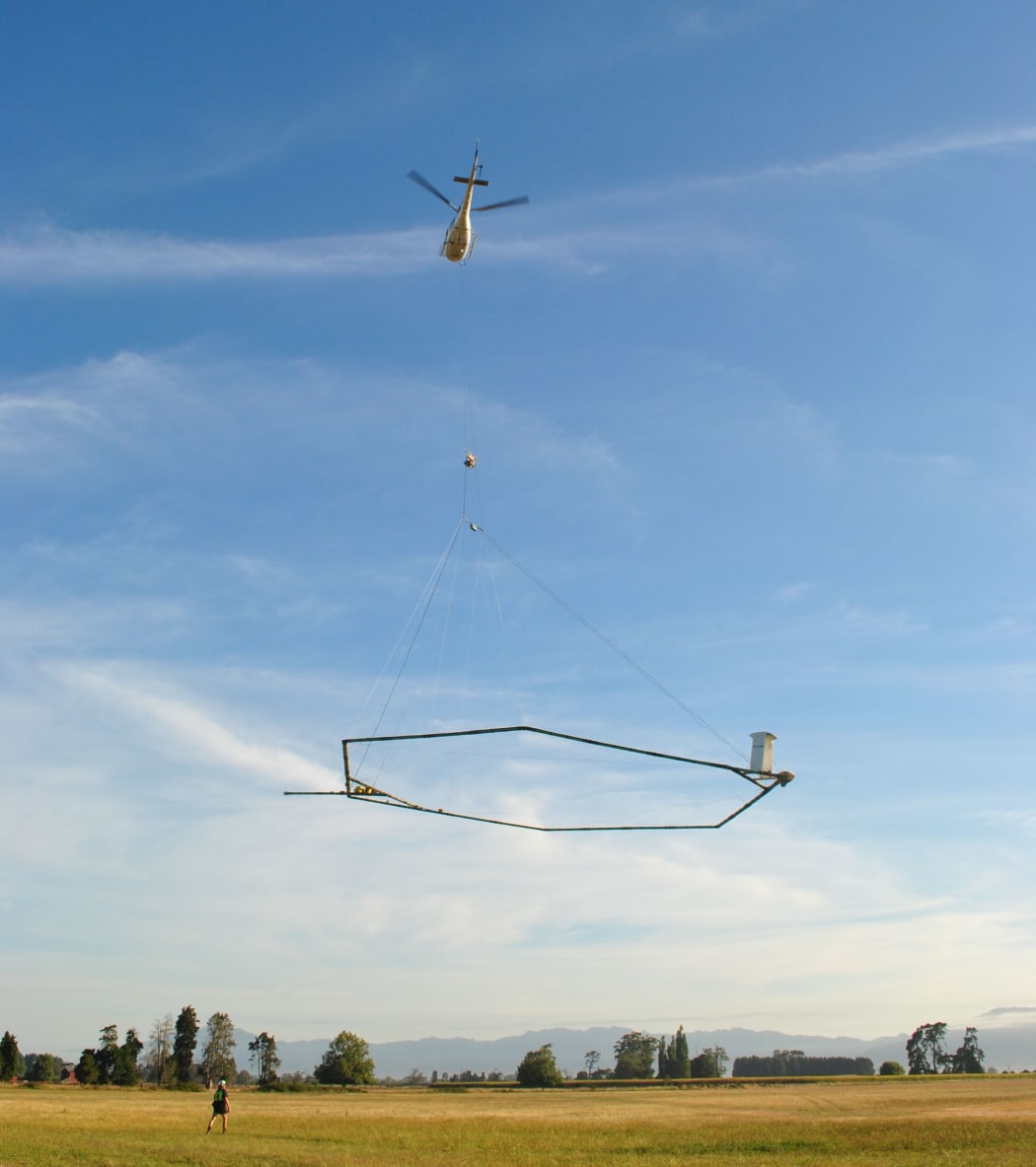
A helicopter with aerial electromagnetic (AEM) technology taking off. Photo: Supplied by Latitude Strategy & Communication
A scientific project to understand more about Gisborne's critical groundwater will start in February.
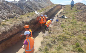
The project will involve surveying underground aquifers - areas of natural underground water storage where water flows into and is stored below the ground between rocks and sediment.
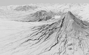
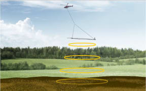
It will be done by helicopter, using aerial electromagnetic (AEM) technology to 'see' under the ground.
The survey will be primarily funded by the government through Aqua Intel Aotearoa (a partnership between GNS Science and Kānoa - the delivery arm of the Provincial Growth Fund).
Gisborne District Council chief of strategy and science Jo Noble said they welcomed the significant investment from central government "to enable this research to be undertaken and to provide us with invaluable data to help guide future decision-making around freshwater."
Aqua Intel Aotearoa programme director Jane Frances said the government's investment in the project was intended to provide high-quality science and data "to help understand how to protect and use land and water in order to improve the wellbeing of wai, whenua, and whānau".
It is working with Gisborne District Council to plan the survey, in discussion with Te Runanganui o Ngāti Porou, Tāmanuhiri Tūtū Poroporo Trust, Te Aitanga a Māhaki Trust and Rongowhakaata Iwi Trust.
The survey will start in the north of the region, around Wharekahika/Hicks Bay, Te Araroa, Waiapu and Tolaga Bay.
While surveying of Poverty Bay flats aquifers will happen later in February.
AEM surveying involves flying over the land with a loop system suspended from a helicopter.
Its transmitters send electromagnetic signals underground, and sensors measure the behaviour of the returning signals.
Similar to radar, scientists can 'see' what's under the ground by looking at the way the signals return.
Aqua Intel Aotearoa also operates in Northland, Otago and Southland.