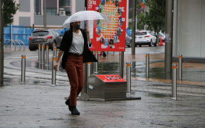
A look at the weather for the rest of the week. Photo: Supplied / MetService
Biting cold winds and icy temperatures are expected across most of the country.
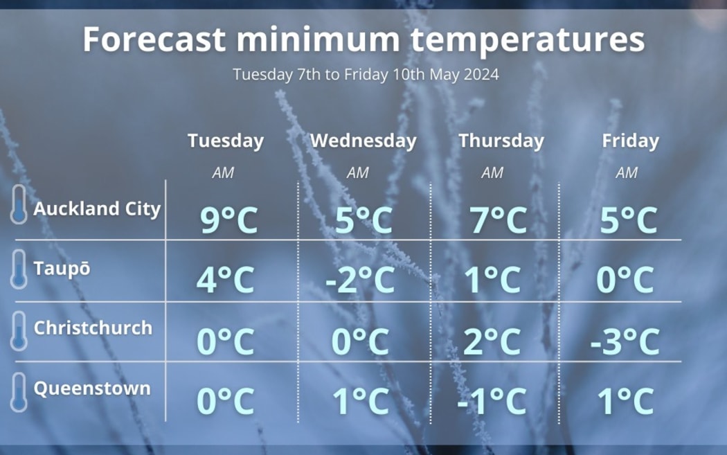
Setting the trend for the South Island, on Thursday morning Queenstown is forecast to drop to -1C, and on Friday, Christchurch could wake up to -3C, MetService said.
Parts of Southland, Otago, Canterbury, and Marlborough could see some snow from Wednesday afternoon to early Thursday.
Road Snowfall Warnings are in place for Porters Pass and Arthur's Pass.
Some nippy mornings are also expected for the North Island, with Taupō expected to drop to -2C on Wednesday, and Hamilton to reach 0C on Friday.
"Frost will be a notable feature this week," MetService meteorologist Mmathapelo Makgabutlane said.
She said May this year was forecast to be much cooler than last year.
"Many may recall the tropical-feeling temperatures of May 2023, where places like Auckland and Hamilton experienced record-breaking warm nights.
"However, this year, expect an overnight drop to mid-single digits in Auckland City and early morning temperatures hovering near freezing in Hamilton."
Makgabutlane said a bright Tuesday was part of the wintery mix this week.
"Between the rain, chilly southerlies, and icy temperatures, it will undoubtedly feel like winter."
She put it down to several cold fronts moving northwards that would bring rain and cooler temperatures.
It comes as the El Niño weather event is expected to be over by the end of this month.
Last week, National Institute of Water and Atmospheric Research (NIWA) forecaster Ben Noll said we still should not be expecting many downpours May through to July.
While May is expected to feature rounds of chilly, southerly quarter winds, Noll said there could be milder, westerly quarter winds from late in the month into June and July.
"It has been a fairly cool autumn so far, and that is going to continue into May," he said.
"As we go toward winter, there are signs that the temperatures actually could turn somewhat milder for the time of year as we go toward toward June and July because the winds may change direction.
"The average person might think that, 'Oh, it's been really kind of cold lately, it's going to be super cold this winter', and that might not necessarily be the case."
El Niño is part of a climate phenomenon called the El Niño Southern Oscillation (ENSO) system.
ENSO influences rainfall, temperature, and wind patterns around the world, including New Zealand.