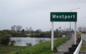
The proposed $26 million Westport flood scheme will not provide uniform flood protection across the town, a report says.
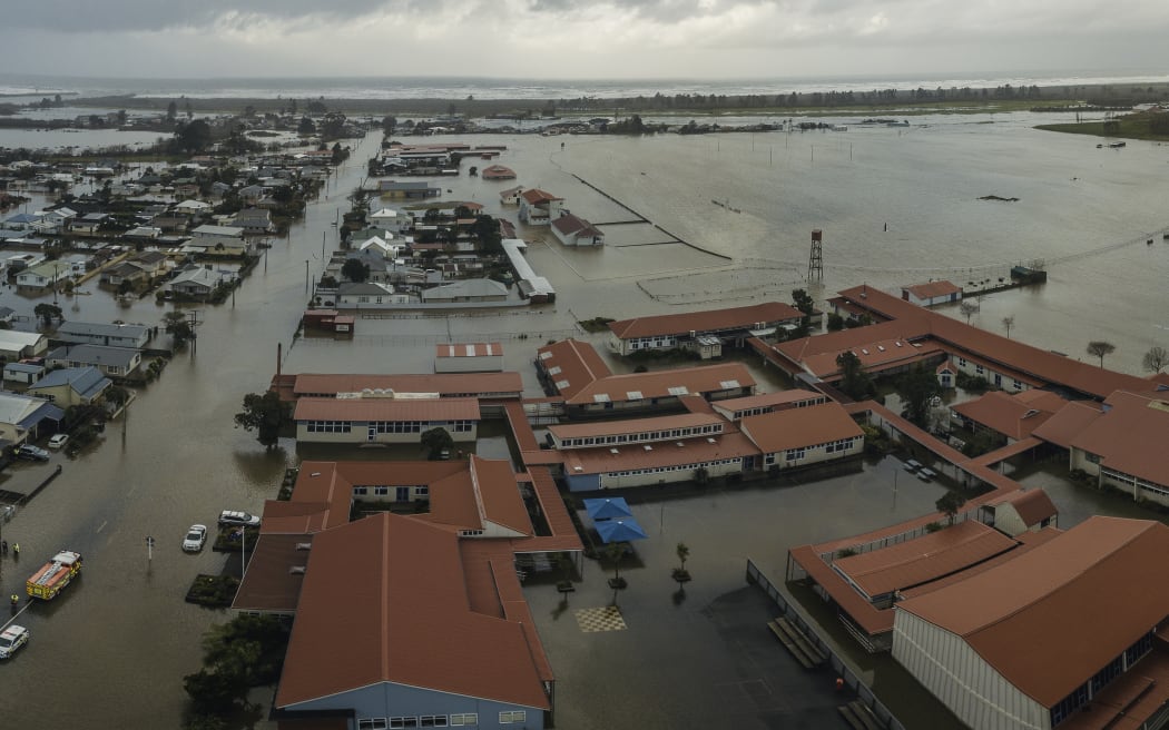
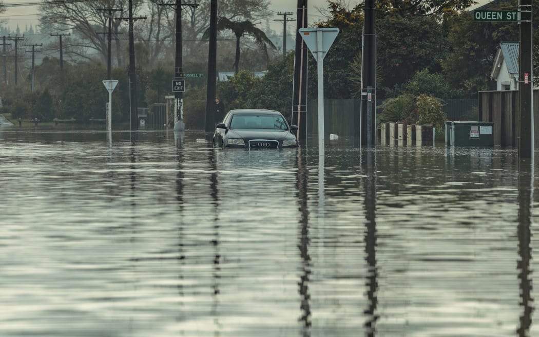
Buller High School and other areas of Westport hit by flooding last July. Photo: Supplied/NZ Defence Force
However, a cost analysis projection done as part of the business case suggests the proposed ring embankment will result in $212 million in cost savings from preventing a future flood hitting the area.

A meeting of the Westport Joint Rating District yesterday received the options proposed under the $26m business case, which will go to the government at the end of the month.
Two ringbank options estimated at $16.9m and $18.9m, plus a range of other mitigation measures, have been assessed using Niwa's 'riskscape' model for the business case for the proposed scheme.
It includes confirmed "significant cost benefits" for what would be a $25m investment, a report to the meeting said.
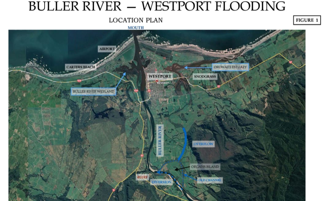
An aerial location map of the Buller flood plain at Westport. Photo: Supplied / West Coast Regional Council
Niwa's report concluded that under what is referred to as an ARI100 / RCP6 flooding scenario, about $212m of damages would be estimated to occur to Westport buildings.
"The work of Niwa thereby confirms significant cost benefits will arise from the investment of $25 million in the proposed Westport flood risk mitigation scheme."
ARI is the average time period between floods of a certain size, while RCP is the modelling used to predict climate change effects. Both criteria have been used in the modelling for the proposed scheme.
The total cost of $26m incorporates a $1m contingency at this stage.
The consultant for the Westport scheme business case, John Hutchings, said the cost benefit analysis for the proposed scheme was based around a $212m saving in damage to buildings in the worst disaster scenario, using the Niwa modelling, "remembering $100m damage in the 2021 flood".
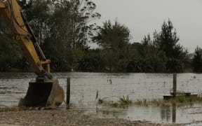
It is estimated last July's flood cost around $100 million. Photo: Supplied / NZ Defence Force
The cost benefit "on the face of it stacks well", Hutchings said.
Hutchings said the value of the investment would be significantly better than having nothing to protect Westport, as was the case last year.
The July 2021 flood is estimated to have caused $100m in damage to the town.
While the Buller River side of the stopbank scheme had to be designed to accommodate the possible effects of climate change in the next 100 years - on top of a one in 100-year flood event - the Orowaiti River side of the scheme with lower stopbanks would simply accommodate a one in 100-year flood.
There was worry it would not meet community expectations, including its exclusion of the Snodgrass Road residential area near the Orowaiti River.
Buller mayor Jamie Cleine said he was worried that the town was being asked to accept "a lower level" of protection which, "for the sake of $650,000" extra, could be eliminated.
"I understand the less dangerous nature of water from the Orowaiti in terms of life, but not property damage. One of the arguments [for the scheme] was for property protection," Cleine said.
"If we accept this lower level then we haven't done our best."
Hydrological consultant Matthew Gardner said the proposed flood scheme on the Buller River side of the town built to a higher standard was for a "future potential climate change scenario" in the next century.
"Some of the walls on the Orowaiti side would not meet the long-term climate change scenario but would allow for constructability," Gardner said.
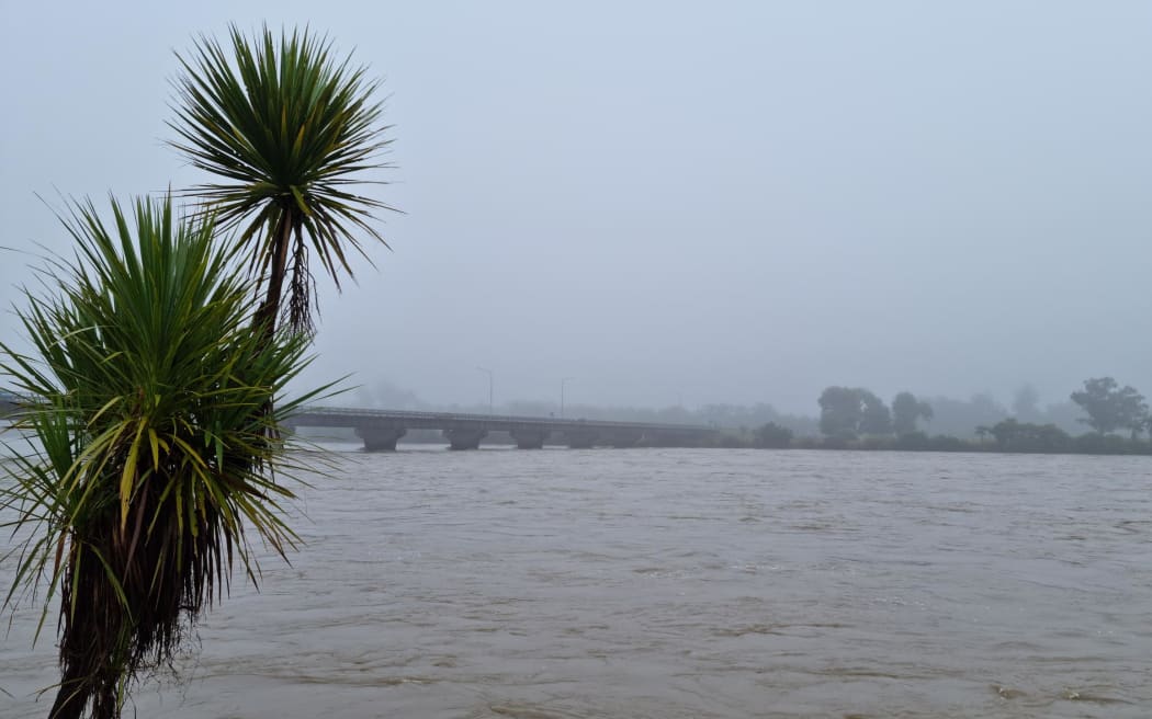
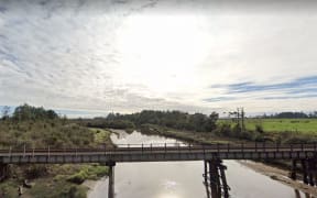
The Buller River in flood. Photo: RNZ / Niva Chittock
Hutchings said it was important to remember the proposed scheme "reduces the risk".
"The priority is given to the biggest and most dangerous aspect - the Buller River."
The underlying principles were to protect, accommodate, retreat and avoid the known flood risks.
"The focus is on protect, but we can't be blind to future options, including retreat.
"Remember one thing, it remains a proposal until the cheque is in the post," Hutchings said.
"Assuming co-investment funding [from the government] is secured then there are a number of other procedures to go through.
"By no means is the proposal locked in concrete."
The seven options initially considered had been run against four climate change scenarios.
Hutchings said the proposed scheme was predicated on it being a three-year staged project.
That included work already approved by the West Coast Regional Council and underway to undertake retrospective work on the Buller River stopbank behind O'Conor Home and at the historic Organs Island 'overflow'.
The proposed ringfence of stopbanks is about 20km with about 50 percent on public land, 43 percent on mainly rural private property and about 7 percent on KiwiRail land. About 36 private properties would have stopbanks or walls.
Local Democracy Reporting is a public interest news service supported by RNZ, the News Publishers' Association and NZ On Air.