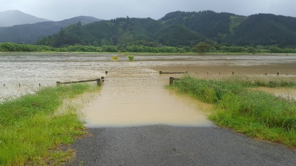
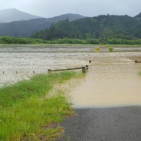
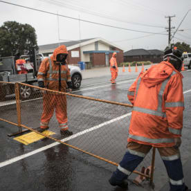
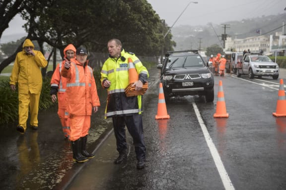
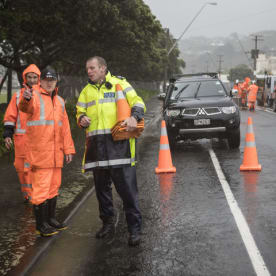
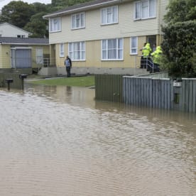
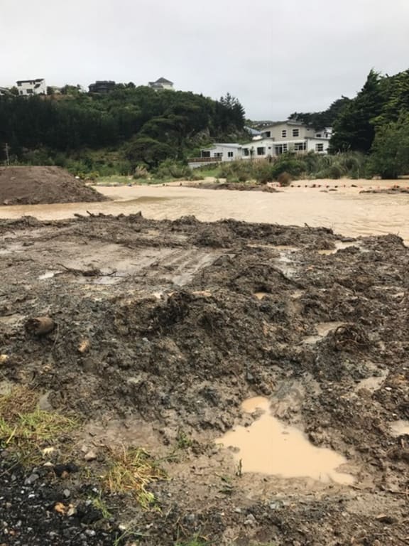
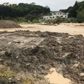
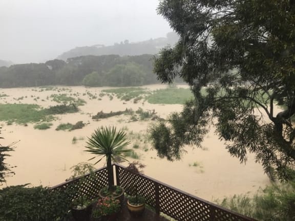
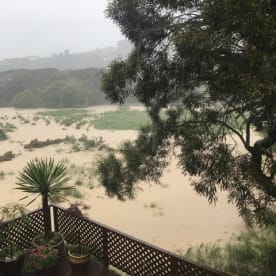
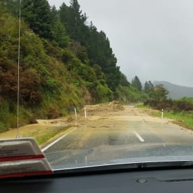
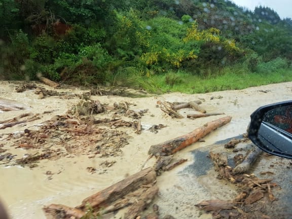
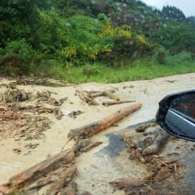
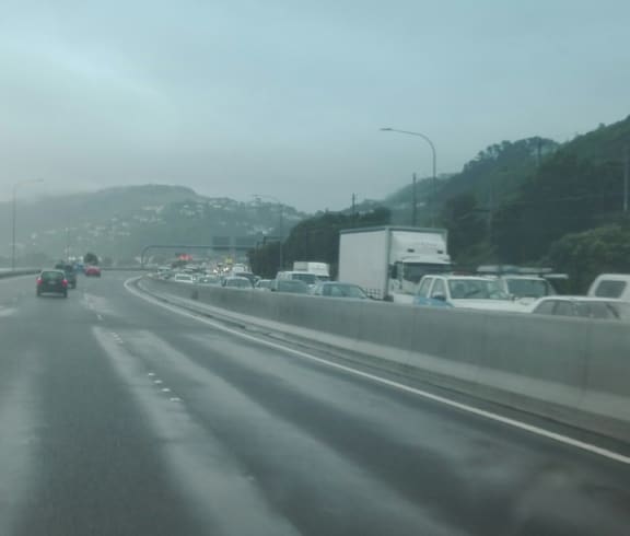
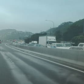
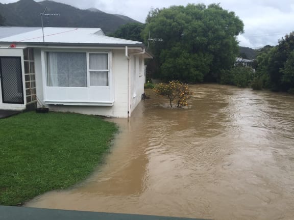
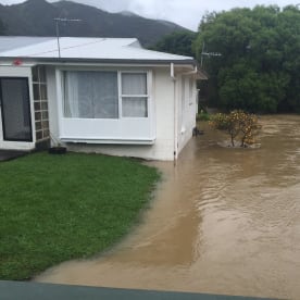
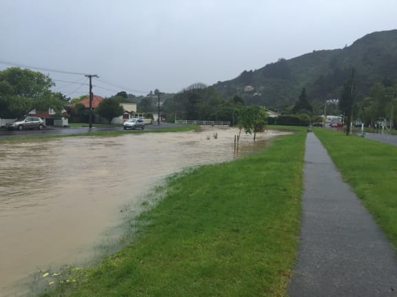
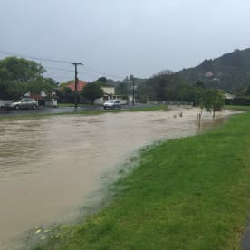
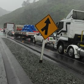
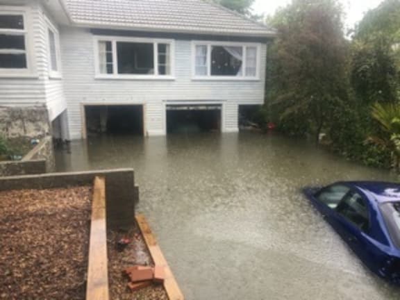
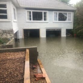
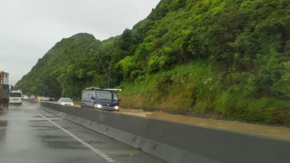
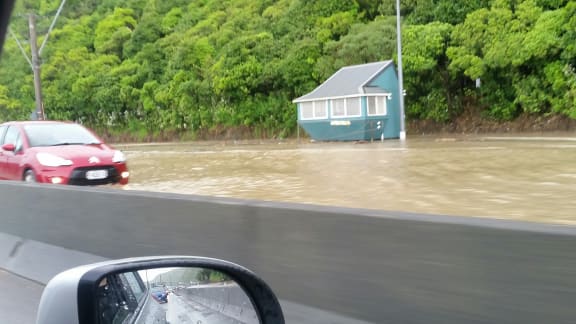
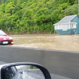
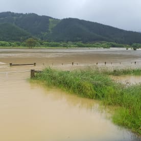
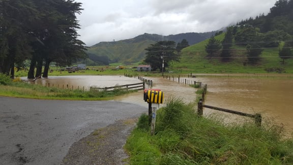
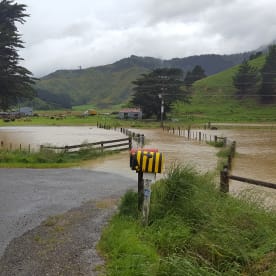
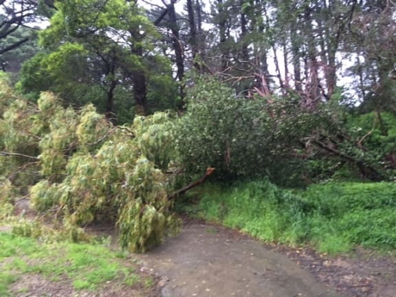
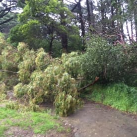
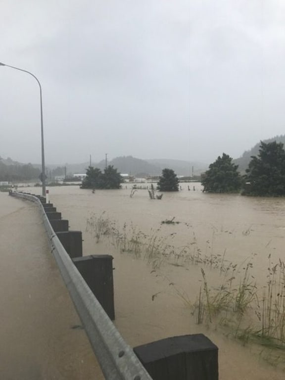
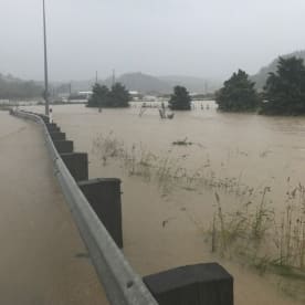
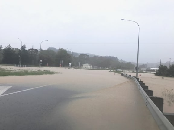
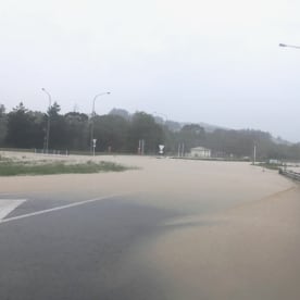
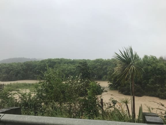
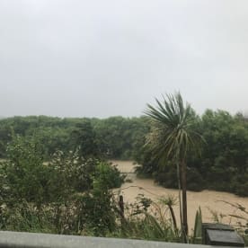
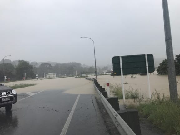
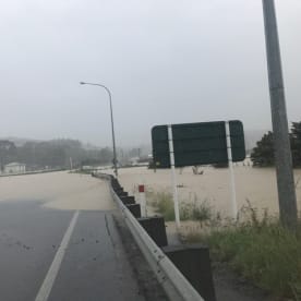
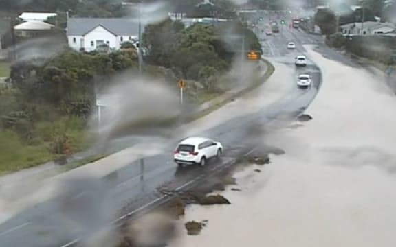
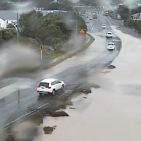
Extensive flooding and slips have caused chaos around wider Wellington, although conditions and traffic restrictions are now easing.
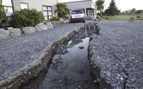
The capital city and wider region were rocked by Monday's 7.5 earthquake, which struck near Hanmer Springs, and today faced stormy weather.
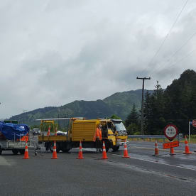
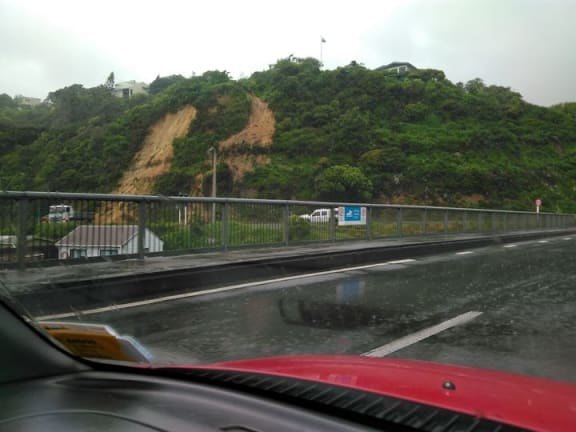
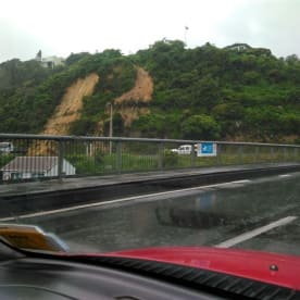
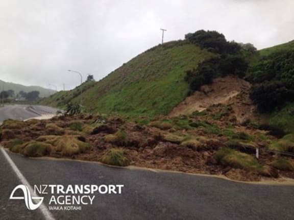
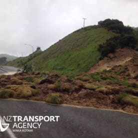
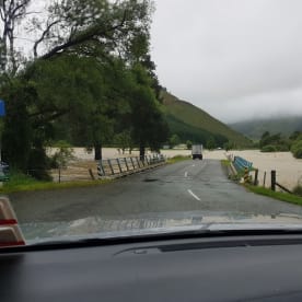
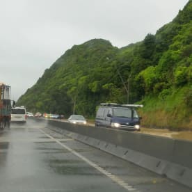
Slips and flooding at one point closed both northbound routes out of the city.
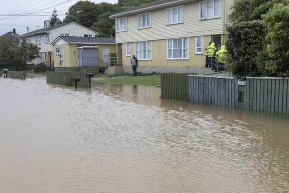
Three people were evacuated from an area near the Waiwhetu Stream in Lower Hutt as a result of flooding, but have been cleared to return.
Two houses in Paremata in Porirua and one house in Pukerua Bay were evacuated because of slips.
One northbound lane on State Highway 1 between Wellington and the Kapiti Coast had reopened, and all lanes on SH2 were now open.
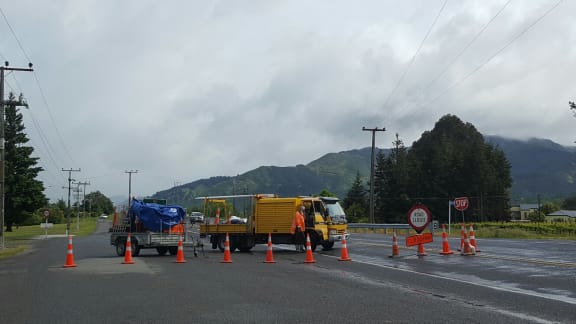
The New Zealand Transport Agency (NZTA) was working to open a southbound lane between Pukerua Bay and Plimmerton, however SH58 - the Haywards Hill Road - would remain closed overnight.
Buses had resumed to the Hutt Valley.


The only train service that was still suspended was between Porirua and Waikanae.
Keneperu Station on the Kapiti Line was closed, as was Pomare Station on the Hutt Valley Line.
About 500 homes in Pukerua Bay and the Porirua suburb of Camborne were still without power. A Wellington Electricity spokesperson said the Pukerua Bay outage was due to a flood-related slip, and it was not known what caused the others.
Motorists told to expect delays
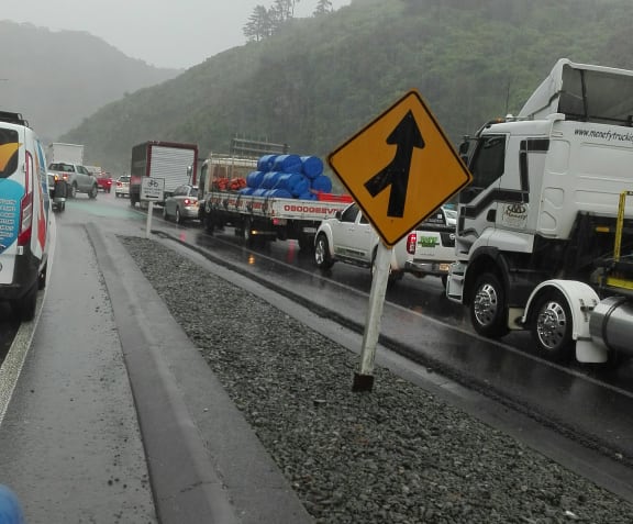
People wanting to travel north were earlier told to stay put until at least 8pm, and parents were advised to make alternative arrangements for picking up their children after school.
HEADS UP: Traffic gridlocked heading out of the CBD. Delay travel #TakeExtraCare ^MN pic.twitter.com/jiPIkYh3dr
— NZTA Wellington (@NZTAWgtn) November 15, 2016
Porirua Mayor Mike Tana said people have been evacuated from two houses on Paremata Crescent in Porirua and one in Pukerua Bay because of slips.
Goodbye footpath and driveway, nice knowing you #wellington #whitby #weather #flooding #eqnz pic.twitter.com/wdYbEa6cwk
— Tayla O'Meara (@tayla_meara) November 14, 2016
People could go to the Porirua Club and the Horouta Marae should they want to leave their homes, he said.
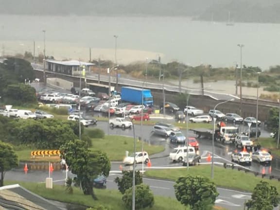
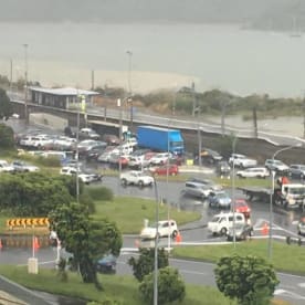
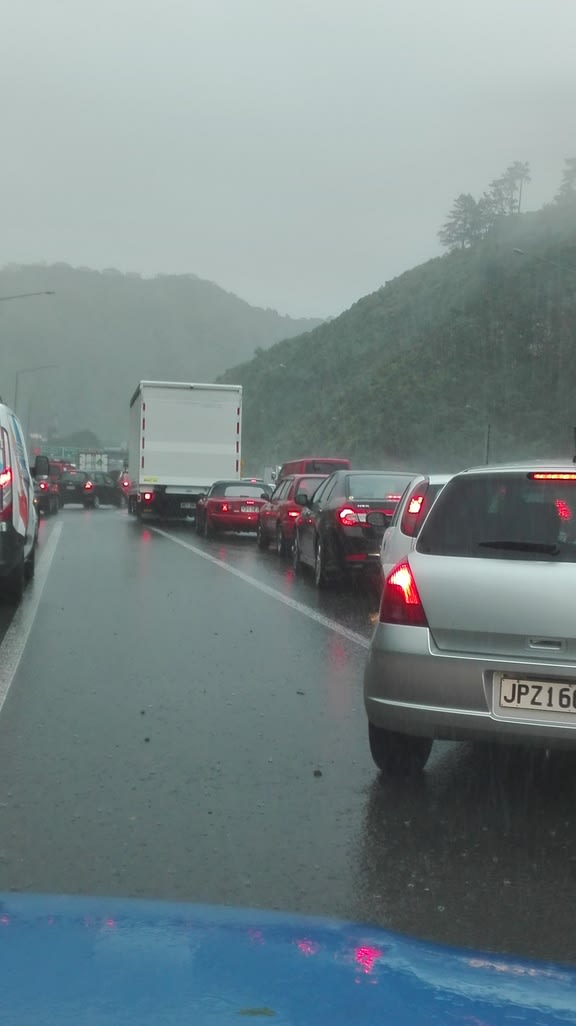
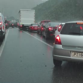
RNZ producer Melanie Phipps said early this afternoon that motorists travelling from the Kapiti Coast into Wellington City were risking a five-hour journey.
Ms Phipps was stuck at Mackays Crossing near Paekakariki, 48km north of Wellington.
"People have abandoned their cars on the side of the road here and have gone on foot through Queen Elizabeth Park.
She said at the time that motorists could either wait out the closure, or turn their cars around and drive for four to five hours through the Manawatu Gorge back to the city.
Flooding disrupts NCEA exams
The flooding also closed schools and disrupted NCEA exams in the region.
Aotea College principal Kate Gainsford said some students were gridlocked in traffic and missed their exams, and the school hosted some students from other schools.
Slips were expected to prevent some staff from getting home and the college was preparing to host them overnight, she said.
Wellington's Regional Emergency Management Office, however, said the rainfall was easing.
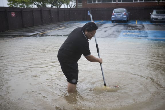
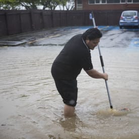
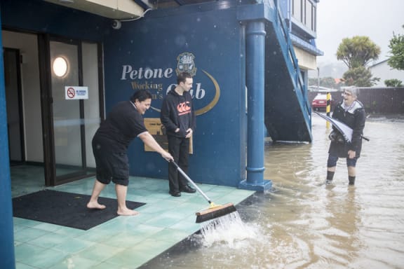
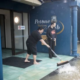
Petone Working Men's Club flooded out, Udy St also blocked off @radionz pic.twitter.com/9wZXBYBjkQ
— KateGudsell (@KateGudsell) November 14, 2016
SH1 in Hataitai turning into a pool #Wellington #weather #eqnz @Wellington_NZ @MetService @radionz pic.twitter.com/2Y4NRWx5bp
— Gabrielle Alexander (@Gooberelle) November 14, 2016
Marlborough
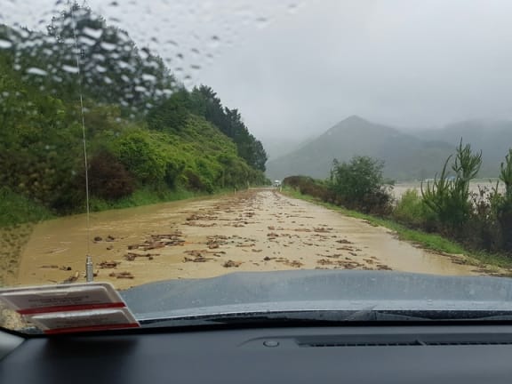
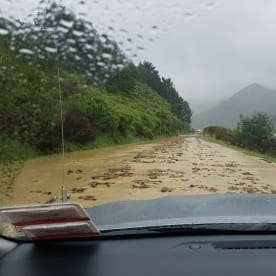
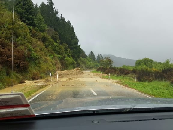
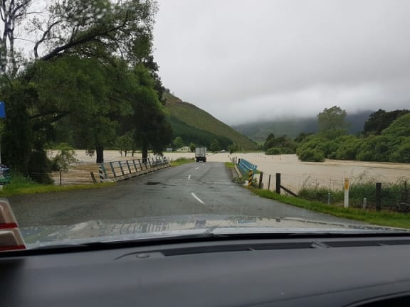
Wet conditions were also making life more difficult in Marlborough, which was badly hit by Monday's quake.
View of #flood damage at Havelock end of Queen Charlotte Drive pic.twitter.com/9L5LOyPiab
— MarlboroughEmergency (@MarlEmergency) November 15, 2016
The highway between Blenheim and Nelson closed due to flooding in Canvastown. Emergency services reported earlier that the Pelorus River had breached its banks and evacuations were planned in the area.
A cordon was placed on SH6 at the Wairau Bridge and traffic heading to Nelson was being diverted through SH63 through the Wairau Valley to St Arnaud.
The area was also at the mercy of severe northwest gales, gusting at up to 130km/h.
A couple and their four young children had to been rescued by helicopter after heavy rain made it impossible for them to leave their home. Marlborough Civil Defence said so much water was pouring down the hillside behind their house in the Waikakaho Valley, bringing with it logs and debris, they were unable to safely leave.
The agency had also issued a warning about sewerage overflows due to a power cut caused by the earthquake.
Kaikoura, which has been cut off from the rest of the country by major landslides, was likely to have clear weather later today, MetService said.
Otago
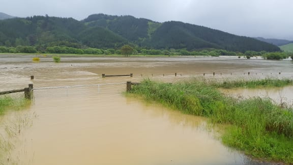
Steady rain also triggered flood alerts in Otago. Pomahaka River in South Otago triggered two flood warnings this morning, though seems to have peaked.
The Otago Regional Council said rivers had also risen in North Otago.
It said heavy rain was forecast for tomorrow and Thursday, and would fall on sodden ground, so there was a risk of flooding later in the week.